Pointless Waymarks

Ramblings, Questionable Geographics, Photographic Half-truths

Southern Samaniego Hills and Pan Quemado Loops

Created and Updated by Charles Miles on 3/3/2021.

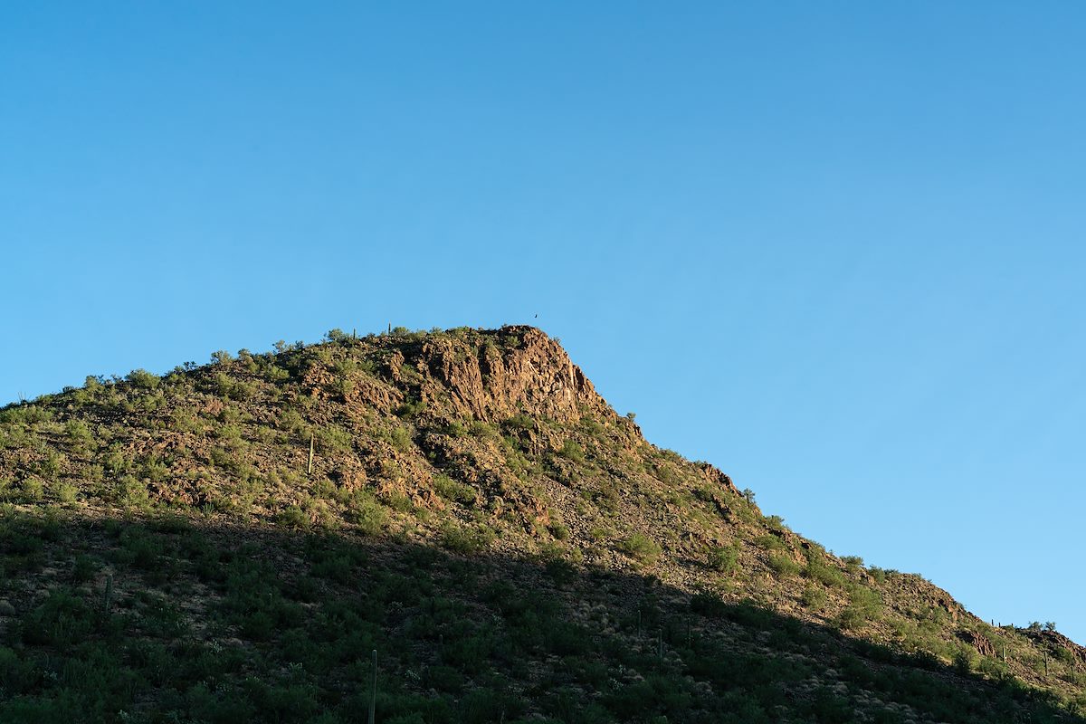
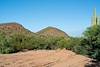
Ironwood Forest National Monument is short of trails but unlike some areas of Southern Arizona many of the roads shown on the USGS Topo maps still exist. You can drive many of these roads with a high clearance vehicle - but with light vehicle traffic they make excellent hiking and running routes thru the desert.

2020 September Point 2614 from a road thru the Samaniego Hills
Point 2614 from a road thru the Samaniego Hills. Charles Miles. 9/9/2020.

Tags: