Pointless Waymarks

Ramblings, Questionable Geographics, Photographic Half-truths

Dos Titos

Created by Charles Miles on 12/16/2020. Updated on 12/18/2020.

Lat: 32.27591, Long: -111.44789, Elevation: 3166', 965m, CalTopo, Google Maps, OSM Cycle Maps

2020 November Cloudy sky over Dos Titos
Cloudy sky over Dos Titos. Charles Miles. 11/12/2020.

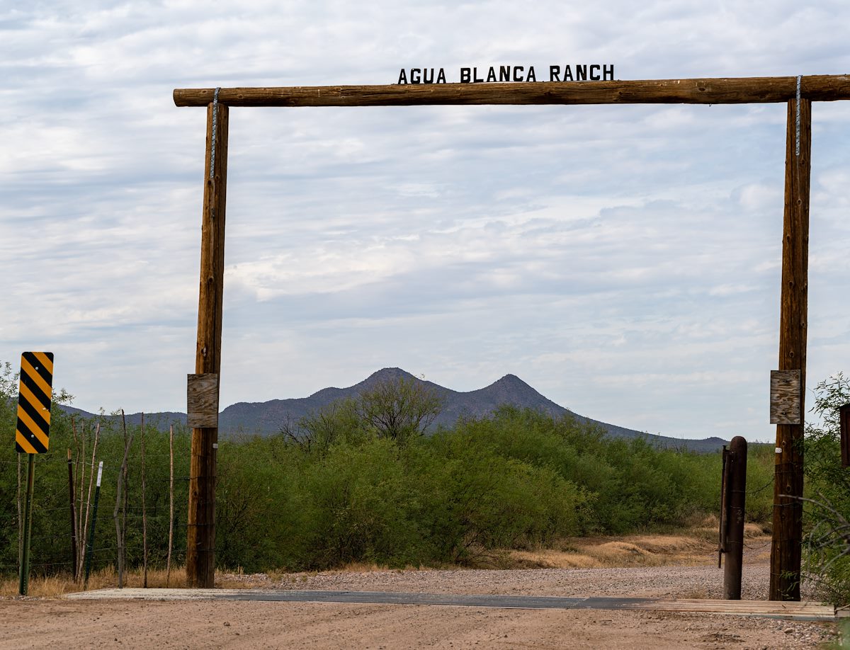
Dos Titos - the 'Two uncles' are two connected peaks on Arizona State Trust Land in the south-west corner of Ironwood Forest National Monument.

Parking anywhere near Dos Titos requires driving high clearance 4WD roads and is likely to include as much driving time as hiking time... The Manville Road entrance to Ironwood Forest National Park is an obvious starting spot for the drive.

There are no established trails in the area makes a number of off-trail routes possible.

2020 November Agua Blanca Ranch sign at the Manville Road Entrance to Ironwood Forest National Monument
Agua Blanca Ranch sign at the Manville Road Entrance to Ironwood Forest National Monument. Charles Miles. 11/12/2020.

Peak


Tags: