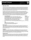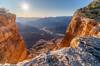
The Waldron Trail doesn't have the drama of other trails that drop below the rim of the Grand Canyon - you start in the forest and descend into Hermit Basin mostly in the trees - no startling cliffs, no turning the corner to an expansive Grand Canyon View... A peaceful descent on a quiet trail.
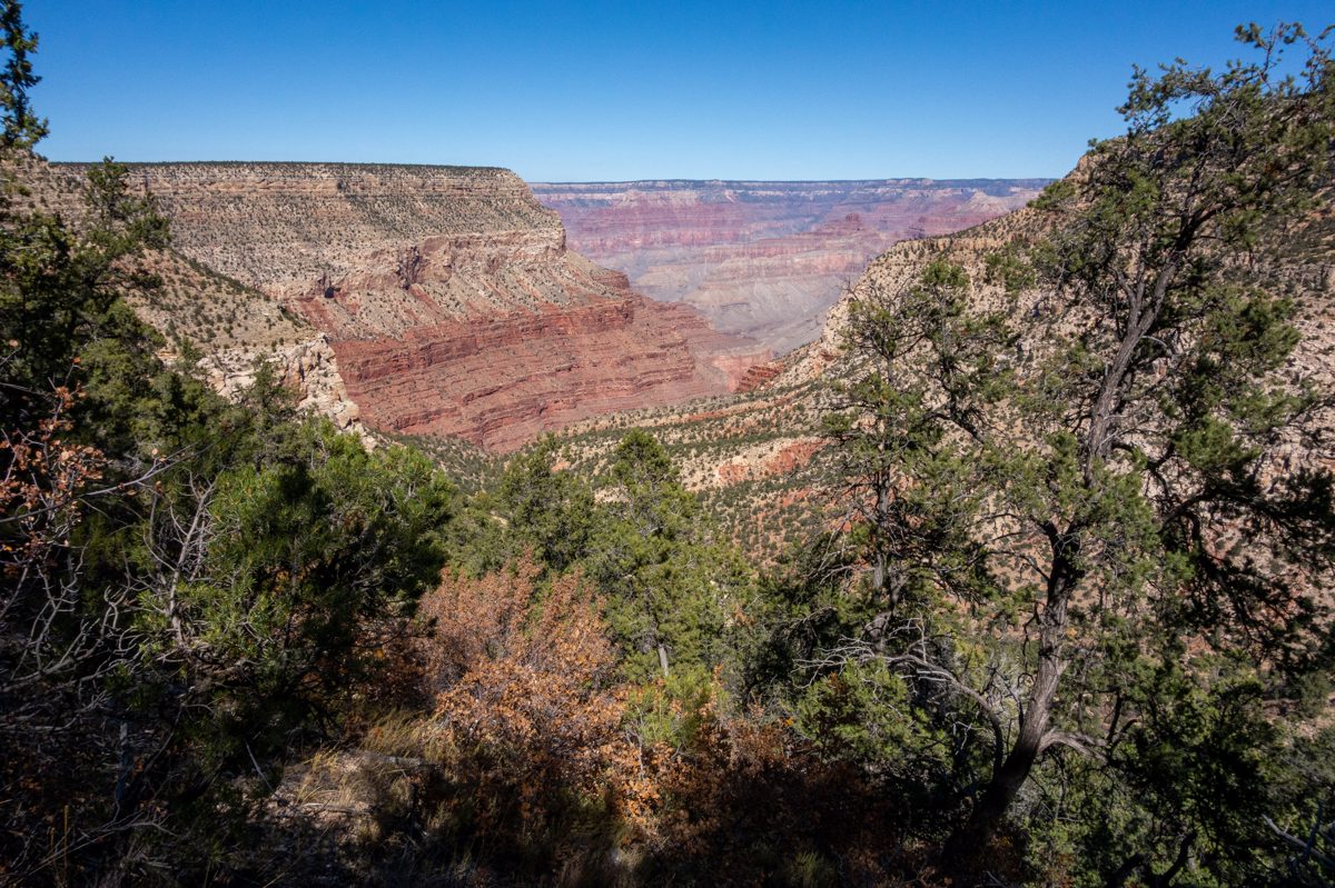
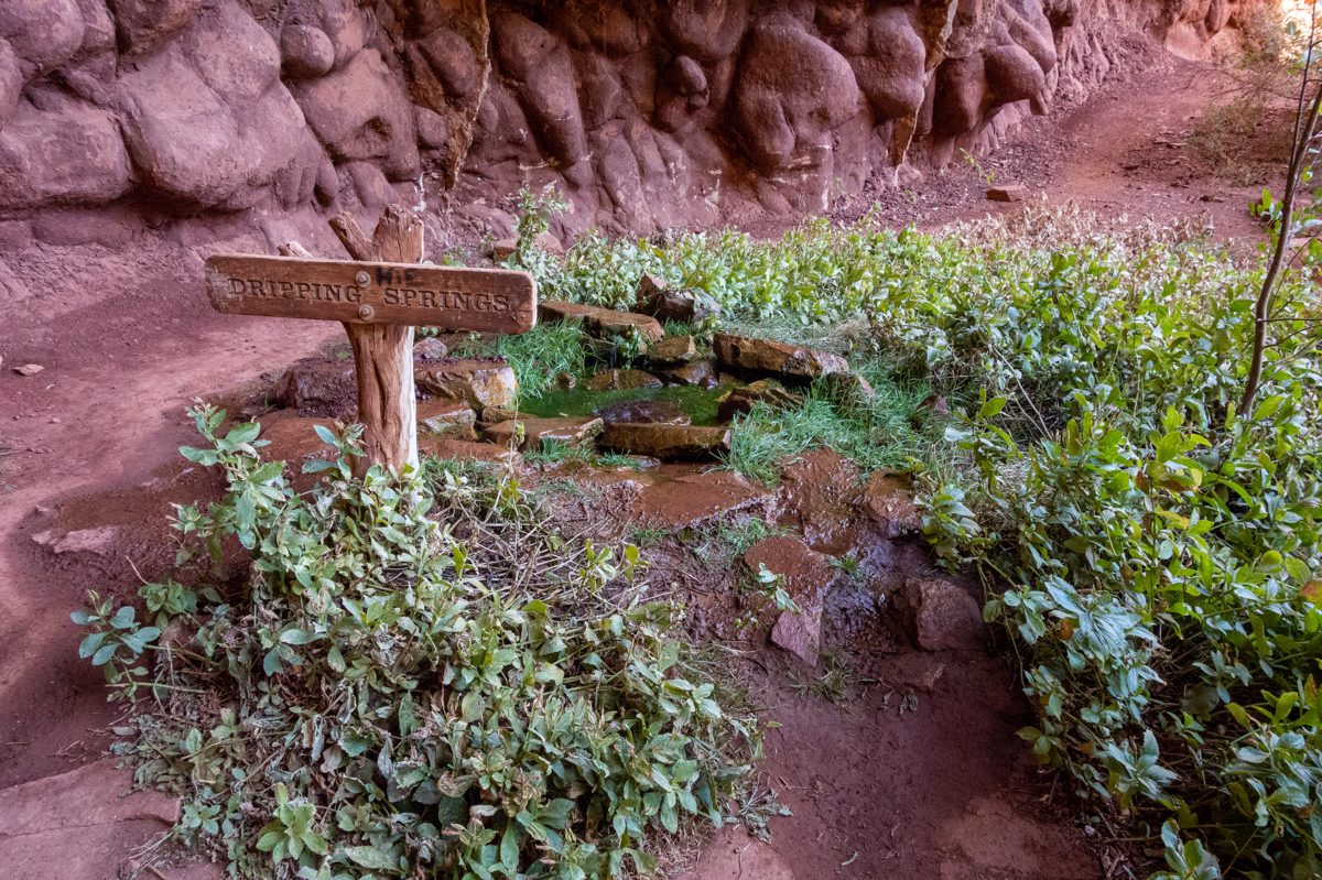
From the Waldron Trail the Hermit and Dripping Spring Trails lead to Dripping Springs - the real point of departure for this hike.
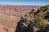
At the end of the Dripping Springs area a passage thru the brush serves as a start to the Silver Bell Route. The Grand Canyon National Park - Boucher Trail PDF has a concise description of the history of this trail:
The Boucher Trail was the creation of Louis D. Boucher, the “hermit” of the Hermit Creek basin. Boucher maintained seasonal residences at Dripping Spring and near Boucher Creek and lived in the area for 20 years. Labeled a hermit because he lived alone, Boucher was in fact well known and socially active within the South Rim community during the latter part of the 19th century. Boucher called his trail the “Silver Bell”. Very few modern hikers follow the original Silver Bell Trail from the rim above Dripping Spring. Most of the old switchbacks are intact, but the location of the trailhead is an obscure spot no longer accessible by vehicle. For all practical purposes, the Boucher Trail, as we know it today, starts at the intersection below Dripping Spring.
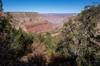
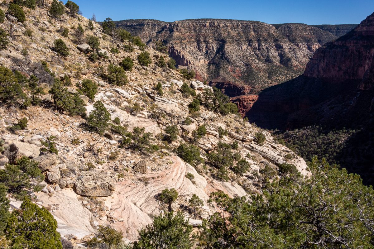
I wasted no time in choosing the wrong faint path on first few hillsides - unlike some wrong choices in the canyon this doesn't result in anything scary or exposed, but there is enough brush and awkward hillside that I am thankful a small steep rocky drainage funnels me back onto the right route. Staying on trail is simpler than I anticipated - small bits of trail construction, cairns and flat well trodden sections are stitched together with occasional pauses to hunt for the next clue.
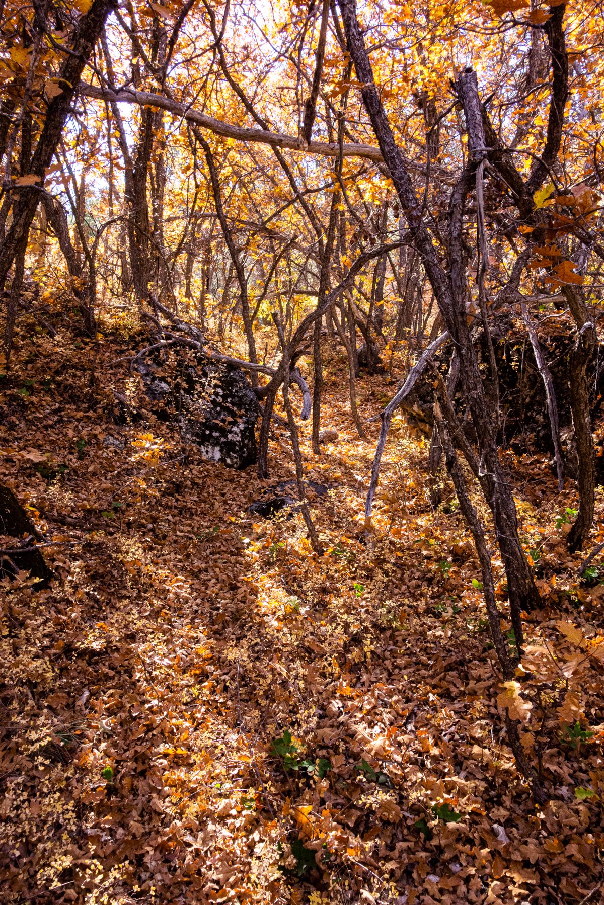
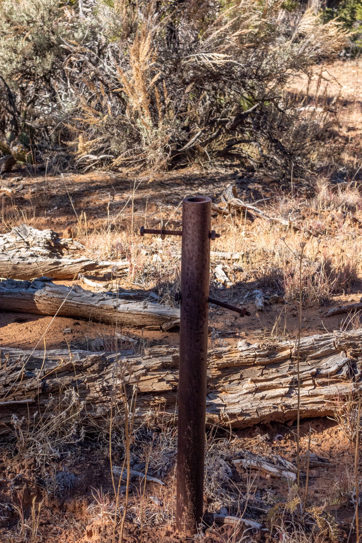
The route climbs steadily, crosses the canyon above Dripping Springs, climbs thru wooded cliffs and late fall color, passes old sign posts and emerges without any fanfare on the rim.
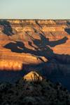
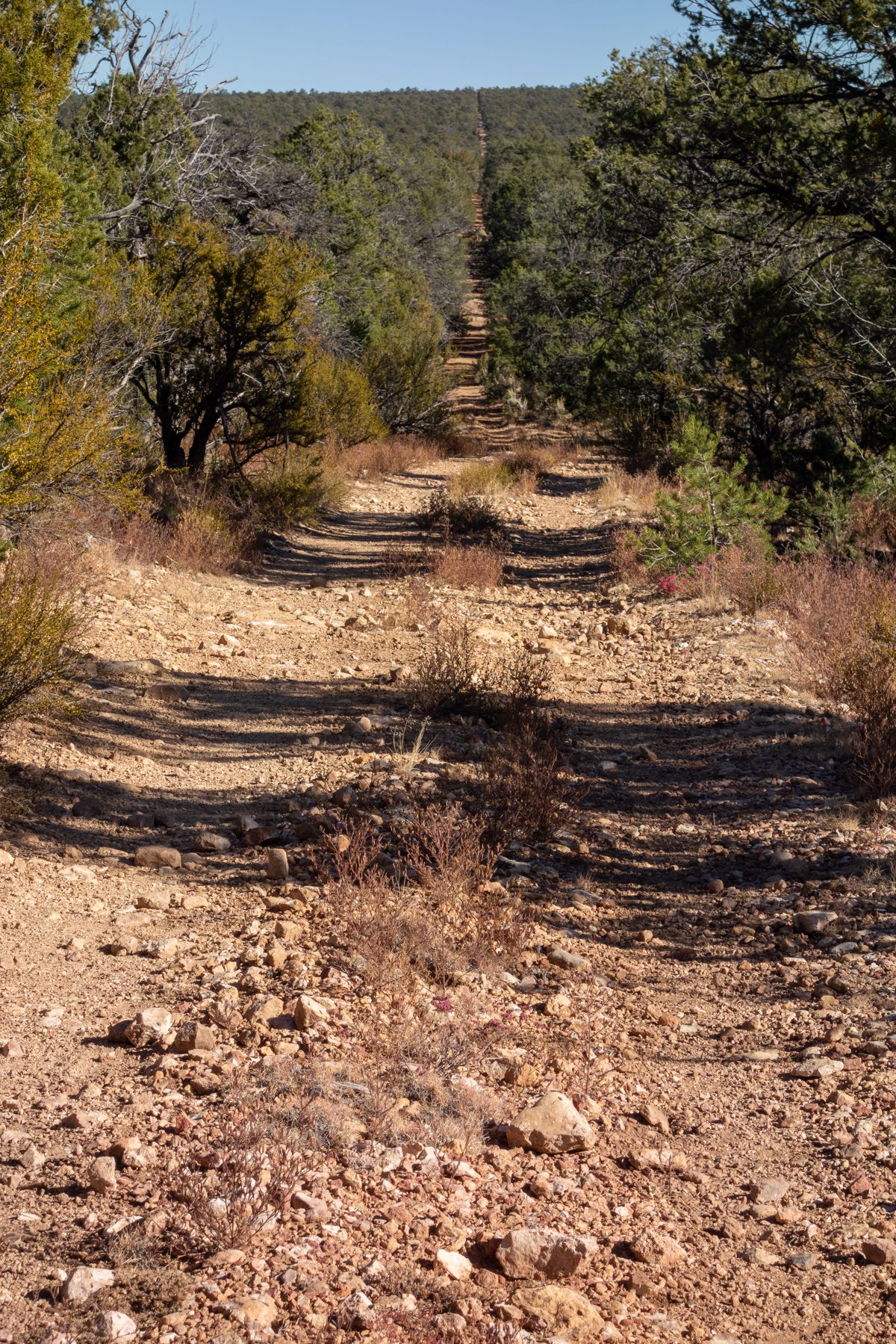
From the top of the Silver Bell Route it is miles of quiet rim roads to loop back to the Waldron Trailhead - the roads have been closed to public traffic for some time now and empty sign posts, elk, horses and trees are all I see on the way back.
Notes:
- Louis Boucher's Silver Bell Trail was named for the silver bell worn by his mule Calamity Jane.
- On the excellent Wilderness Vagabond! site there is some great Waldron Trail information in Waldron Trail NPS.pdf - from the file:
Before construction of the Hermit Trail in 1912, The Waldron Trail was the main route into Waldron Basin. Human history in this area is rich and there is some evidence to suggest that, prior to Louis Boucher’s arrival in 1892, horse thieves used this secluded basin to alter brands. The trail’s current course was built by several of the early prospector/tourism entrepreneurs; originally to access a 5 acre mill site associated with the Orphan mine. They developed a dirt dam reservoir at the head of today's Waldron Trail in 1895 or 1896. That reservoir is called Horsethief Tank. The dam is still there, although it rarely has any water. Within a few years they had also built the trail down to Waldron Basin where it met up with Louis Boucher's trail to Dripping Springs. The Waldron Trail would facilitate prospecting forays and perhaps some tourism along the western south rim, and the reservoir at the top would supply water for the trail stock. Waldron himself is a slippery historic character. It is uncertain who he was, when he may have lived here, and why the trail is named after him. Some research has been done trying to find out his identity (or if the word was a person's name at all), and it was discovered that a man named Waldron worked for Bill Bass probably with tourism. He also worked for James Thurber who was himself involved with Hance Ranch and the construction of the Bright Angel Hotel.