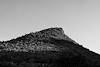
Agua Fria National Monument, named for the Agua Fria River, was created by Bill Clinton on Jan. 18, 2000, in Presidential Proclamation 7263. Located east of I-17 between Phoenix and Flagstaff the 70,980 acre Monument is visible from the highway and is probably seen by hundreds, or maybe thousands, of people everyday. But in spite of being so well seen I suspect relatively few people stop, visit, and explore.
From the Presidential Proclamation:
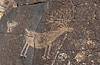
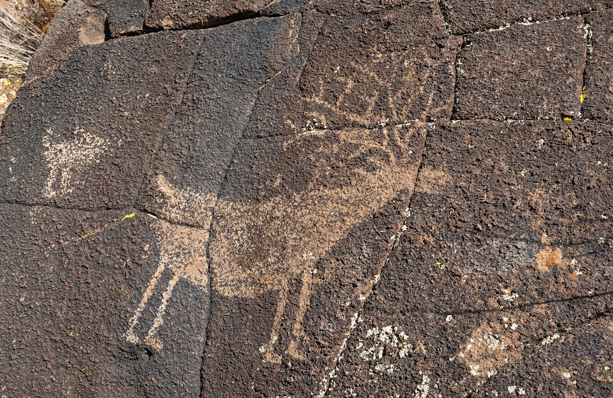
The windswept, grassy mesas and formidable canyons of Agua Fria National Monument embrace an extraordinary array of scientific and historic resources. The ancient ruins within the monument, with their breathtaking vistas and spectacular petroglyphs, provide a link to the past, offering insights into the lives of the peoples who once inhabited this part of the desert Southwest. The area’s architectural features and artifacts are tangible objects that can help researchers reconstruct the human past. Such objects and, more importantly, the spatial relationships among them, provide outstanding opportunities for archeologists to study the way humans interacted with one another, neighboring groups, and with the environment that sustained them in prehistoric times.
The monument contains one of the most significant systems of late prehistoric sites in the American Southwest. Between A.D. 1250 and 1450, its pueblo communities were populated by up to several thousand people. During this time, many dwelling locations in the Southwest were abandoned and groups became aggregated in a relatively small number of densely populated areas. The monument encompasses one of the best examples of these areas, containing important archeological evidence that is crucial to understanding the cultural, social, and economic processes that accompanied this period of significant change.
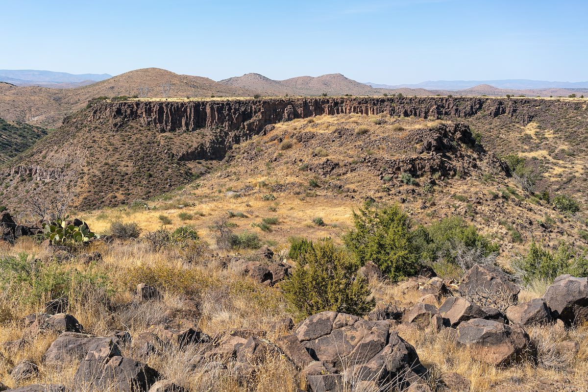
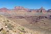
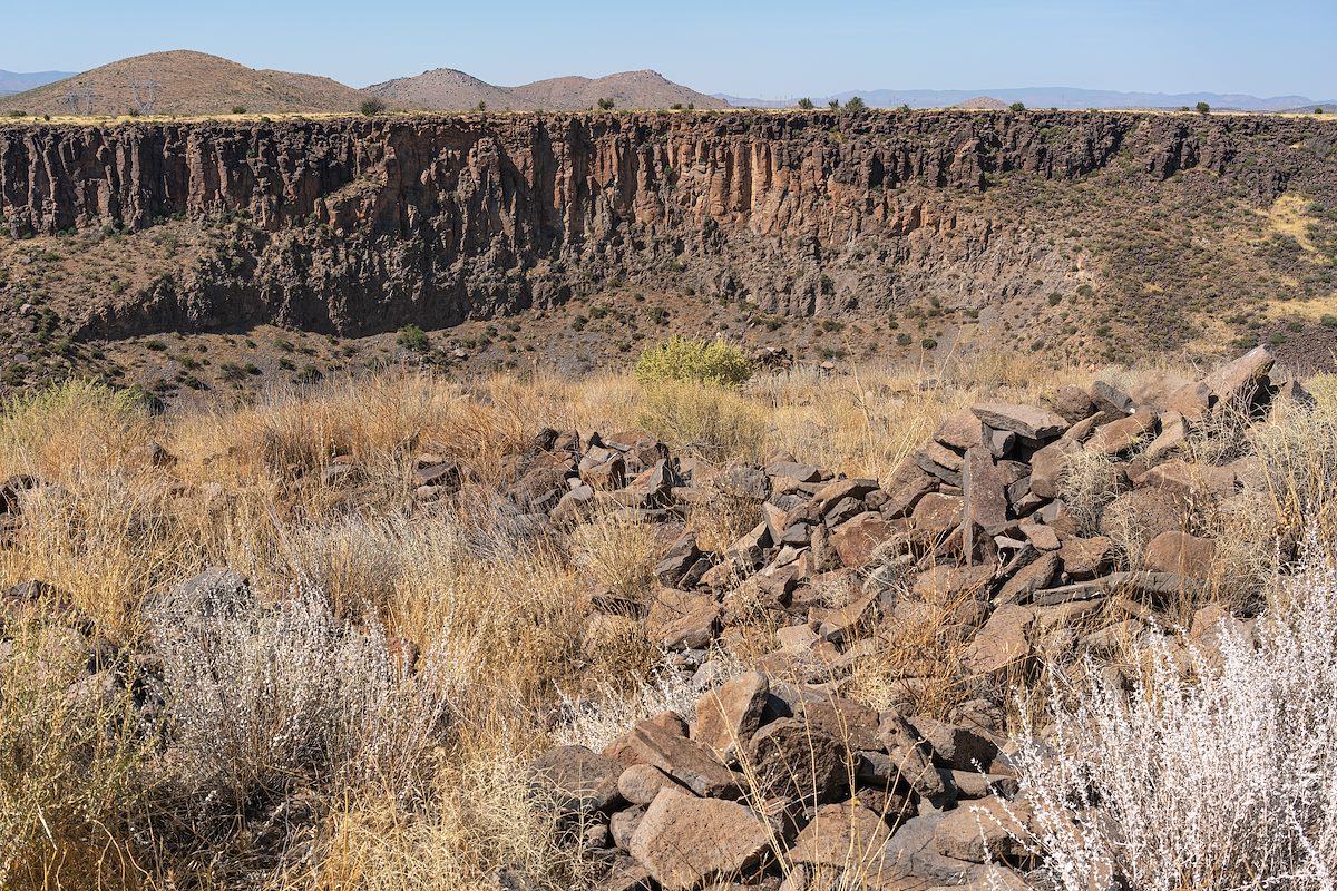
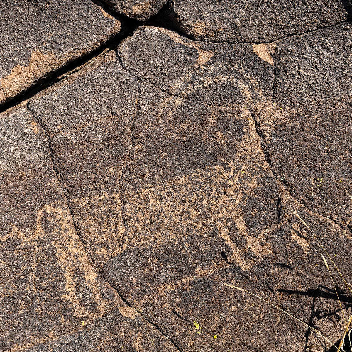
The Perry Mesa Archaeological District - containing hundreds of archaeological sites (Perry Mesa was named for William Perry who ran cattle here from 1880 to 1929) - is located in the Monument and after finding a parking spot we set off cross-country to visit one of them. The hiking is fairly easy - more notable for the number of grass seeds embedded in our socks at the end than anything else - and before long we begin to spot sherds on the ground, then petroglyphs, and finally we walk with care around the of the remains of a wall, a building, a community.
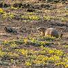
A bit of reading suggests that the people here would have cultivated corn, beans and agave, hunted deer and antelope, gotten water from springs and tanks in the canyons, made longer trips to the east for fuelwood and construction timbers and were an easy hike away from other communities in the area. Before the Spanish arrived the original inhabitants of this pueblo had moved on, perhaps due to drought and pressure from increased population.
A few notes from a first visit to the Agua Fria National Monument:
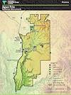
- There are only a few established sites in the Monument and they are shown nicely by the BLM's Agua Fria National Monument Map
- There are (signed and legal to drive) dirt roads in Agua Fria National Monument not shown on the BLM's overview map that appear on more detailed maps - several sources I read noted that many of the roads were suitable only for high clearance 4wd vehicles and impassably muddy when wet.
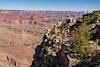
- With no notable shade up on the mesas we found even a short hike quite hot - probably best in cooler weather
- There are no major hiking trails in the monument but cross-country travel on foot is permitted
- The Friends of Agua Fria National Monument support the Monument and have a number of interesting events and ways to volunteer listed.