Pointless Waymarks

Ramblings, Questionable Geographics, Photographic Half-truths

Cocopa and Yuma Points, Grand Canyon - 9/30-10/1/2020

Created by Charles Miles on 10/19/2020. Updated on 10/20/2020.

2020 September Dana on Cocopa Point from the rim to the West
Dana on Cocopa Point from the rim to the West. Charles Miles. 9/30/2020.
Cocopa Point East to the Grand Canyon Village - 1906, Reprinted 1912
A section of a 1912 reprint of the 1:48,000 scale USGS Bright Angel topo map showing Cocopa Point on the west/left and what would become the Grand Canyon Village on the east/right.

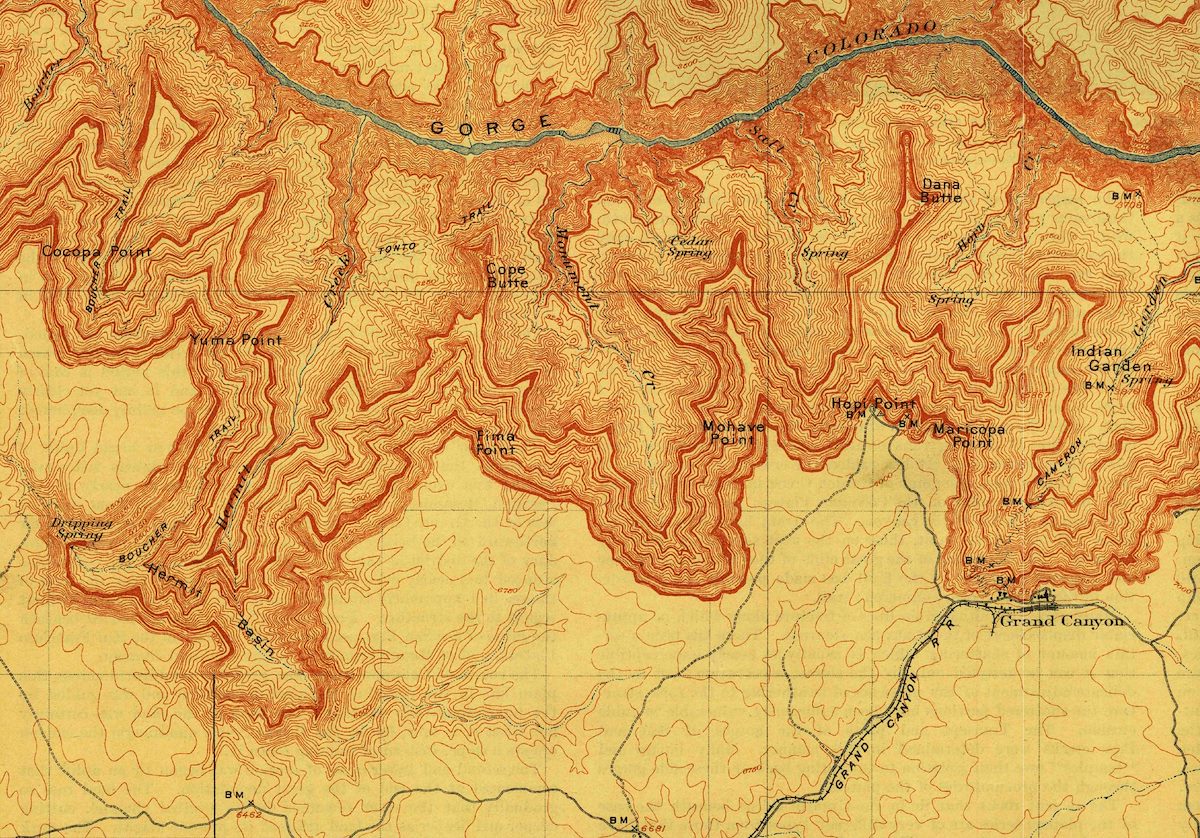
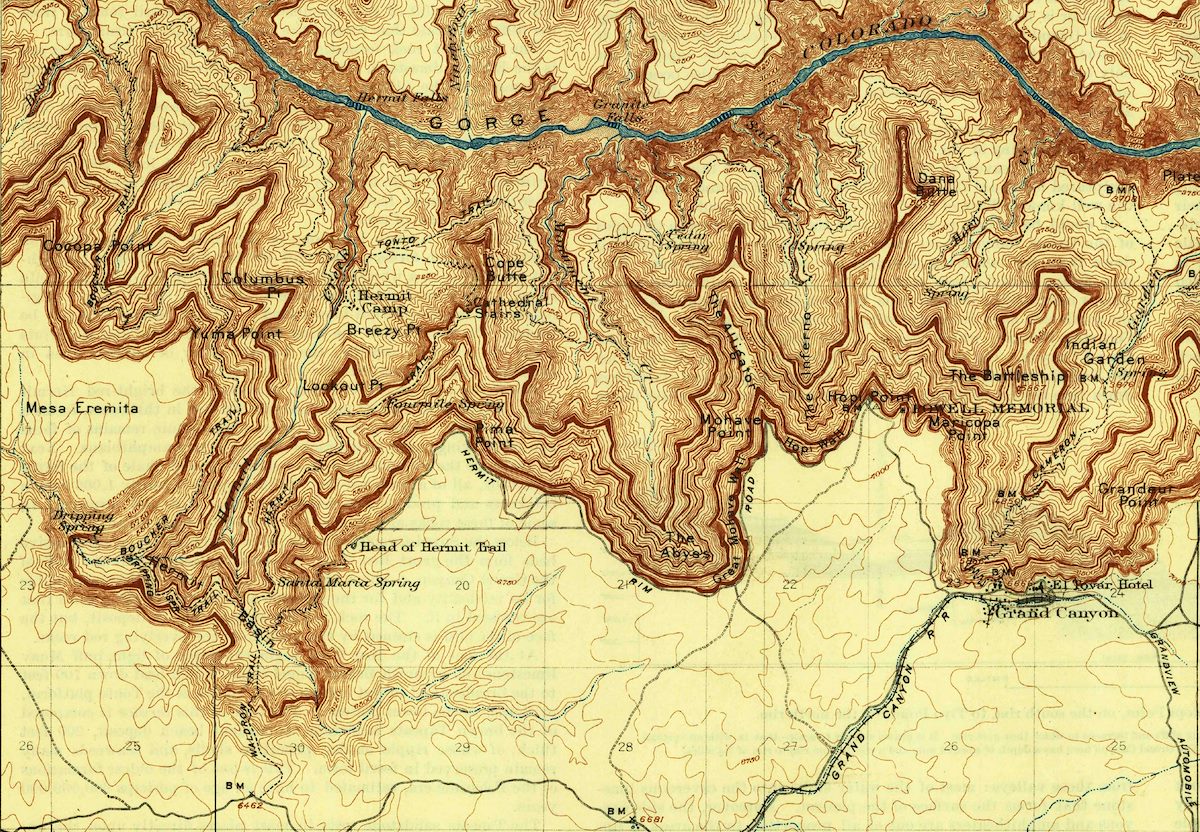
Cocopa point is perched on the western edge of the USGS 1:48,000 Bright Angel Map. There are (many) earlier maps of the Grand Canyon, but I think the 1906/1912 version of this map is interesting because the (sparse) infrastructure and place names make this map feel familiar - a step forward from earlier/emptier maps towards the slightly busier 1906/1927 edition.

Cocopa Point East to the Grand Canyon Village - 1906, Reprinted 1927
A section of a 1927 reprint of the 1:48,000 scale USGS Bright Angel topo map showing Cocopa Point on the west/left and what would become the Grand Canyon Village on the east/right.

From FR2501 we leave the Kaibab National Forest and cross into Grand Canyon National Park - if you've never seen the boundary you might imagine an invisible line thru the forest, but here entry to one of America's most visited parks is a careful step thru the barbed wire and a few more steps across the boundary road.

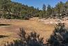
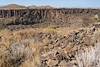
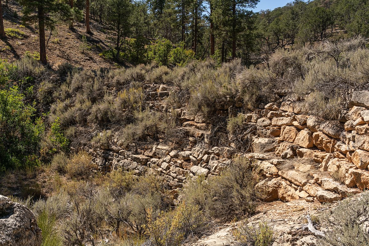
We arc across Eremita Mesa on old roads we never really find, miss an intended turn and end up in the middle of Eremita Tank - impressively larger and drier than I had guessed/hoped. Eremita (hermit in Spanish) Mesa and Tank, and a number of other locations in the Grand Canyon, are named for Louis Boucher - 'The Hermit'. Boucher prospected in Canada before coming south and ending up in the Grand Canyon in the late 1800s. After working at the Hance Ranch he struck off on his own establishing camps at Dripping Spring and Boucher Creek, building trails in the area, operating a small mine and guiding tourists. In 1912 he left the Grand Canyon and moved to Moreland, Utah, where he worked in a coal mine.

2020 September Eremita Tank
Completely dry. USGS and FS Maps show a road entering the tank from the west along Hermit Creek (center in this picture) - we were able to easily walk the path of the old road but more often than not it seemed like we were following game trails not an old road. Charles Miles. 9/30/2020.
2020 September Rock Work in the Dam creating Eremita Tank
The size of the dam for Eremita Tank was a surprise. Charles Miles. 9/30/2020.

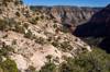
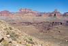
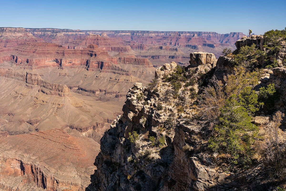
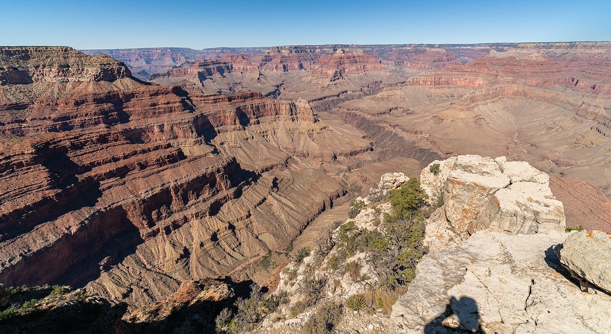
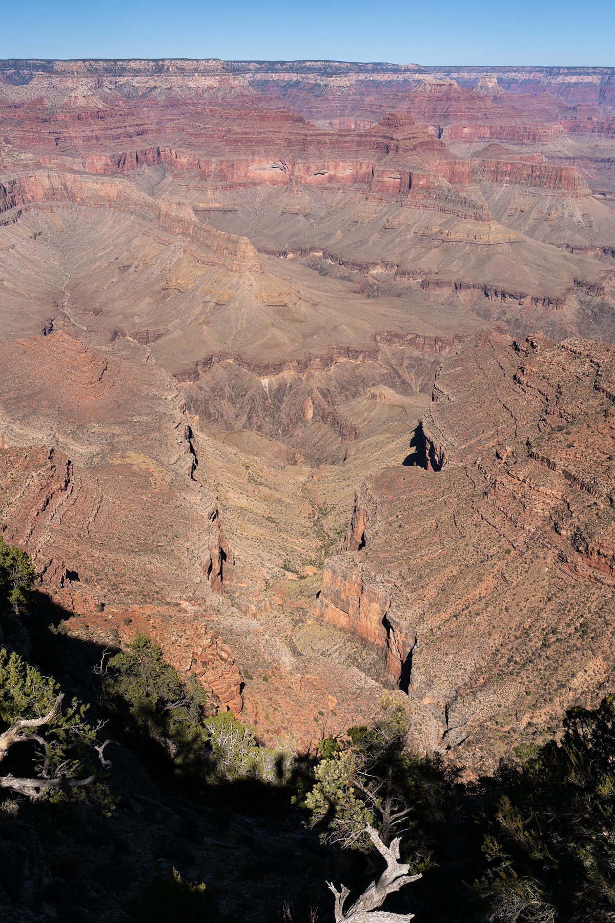
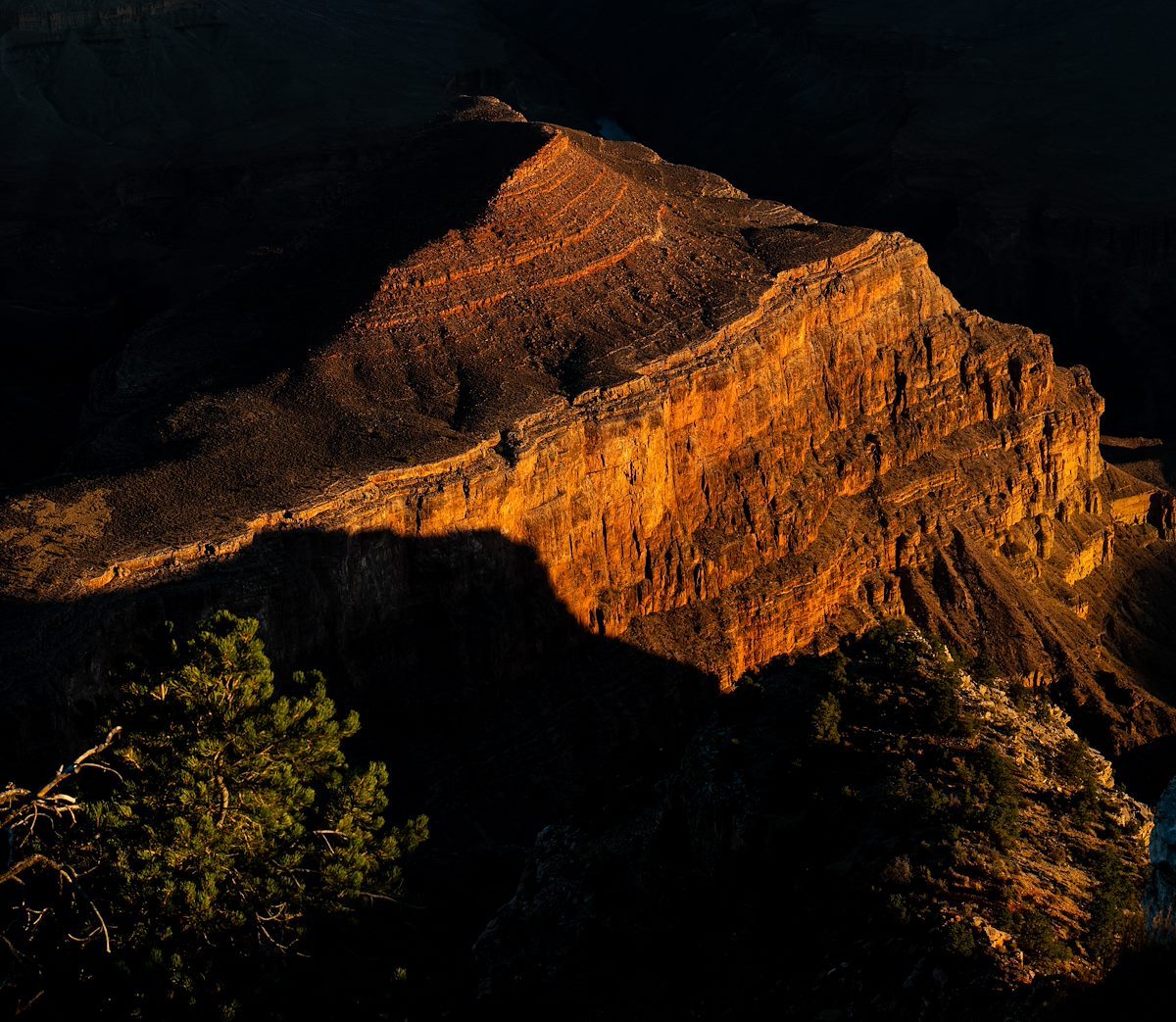
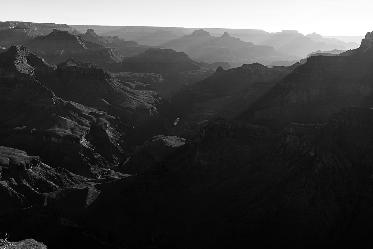
Purely cross country now it is an easy walk to the rim, out to the impressive views from Cocopa Point and around to Yuma Point.

2020 September Looking East from Cocopa Point
Looking East from Cocopa Point. Charles Miles. 9/30/2020.
2020 September Cocopa Point View 01
Cocopa Point View 01. Charles Miles. 9/30/2020.
2020 September Looking down on Travertine Canyon on the hike from Cocopa to Yuma Point
Looking down on Travertine Canyon on the hike from Cocopa to Yuma Point. Charles Miles. 9/30/2020.

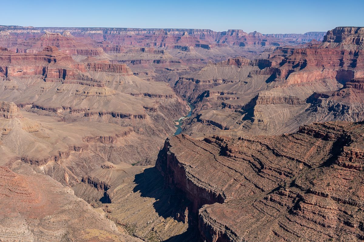
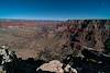
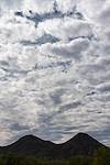
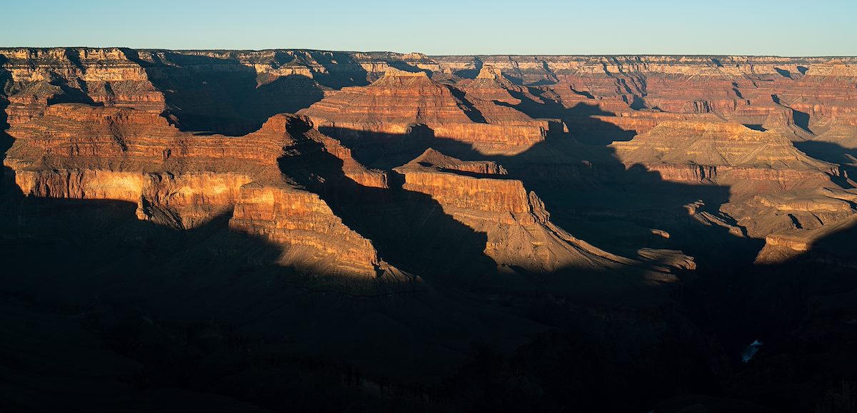
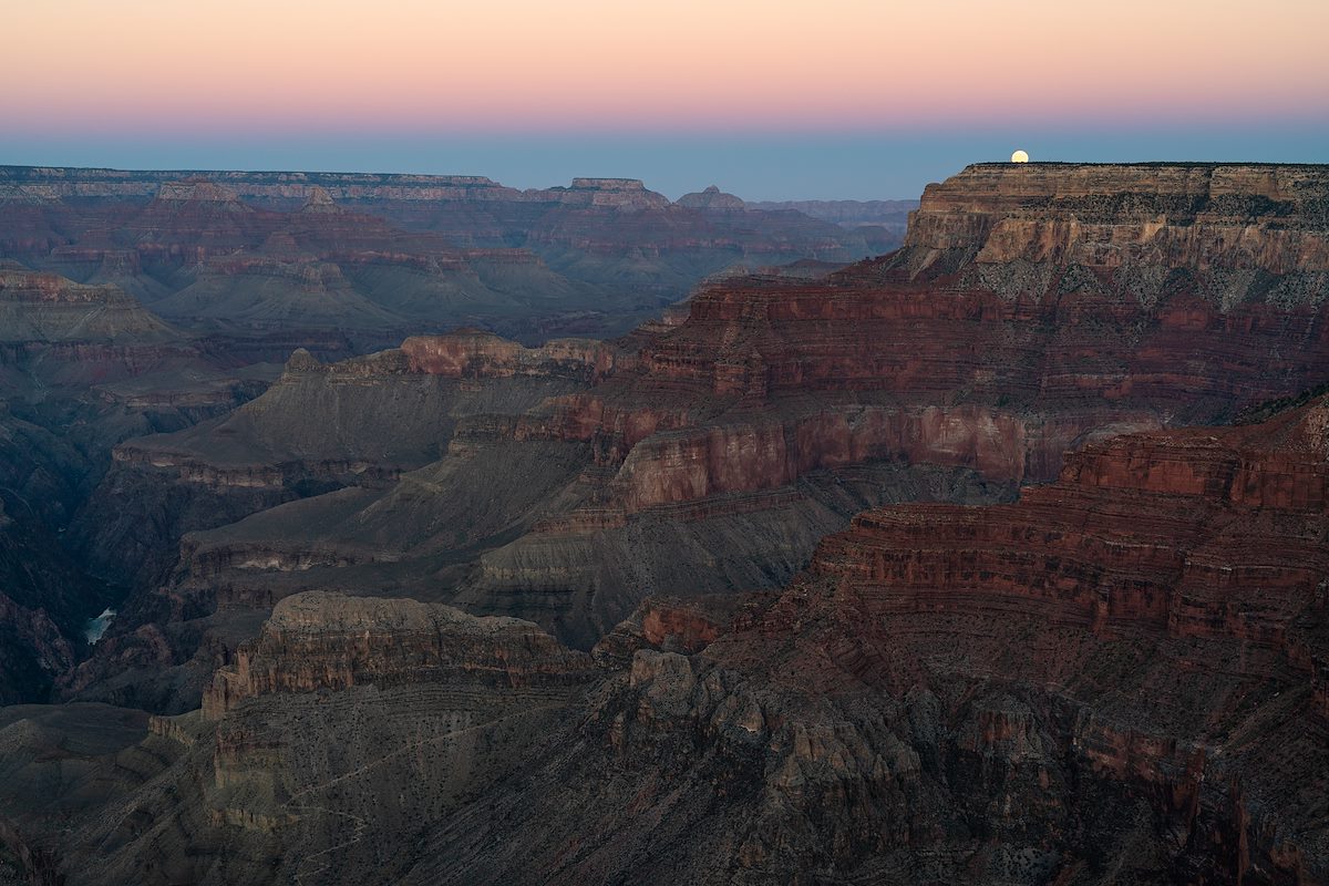
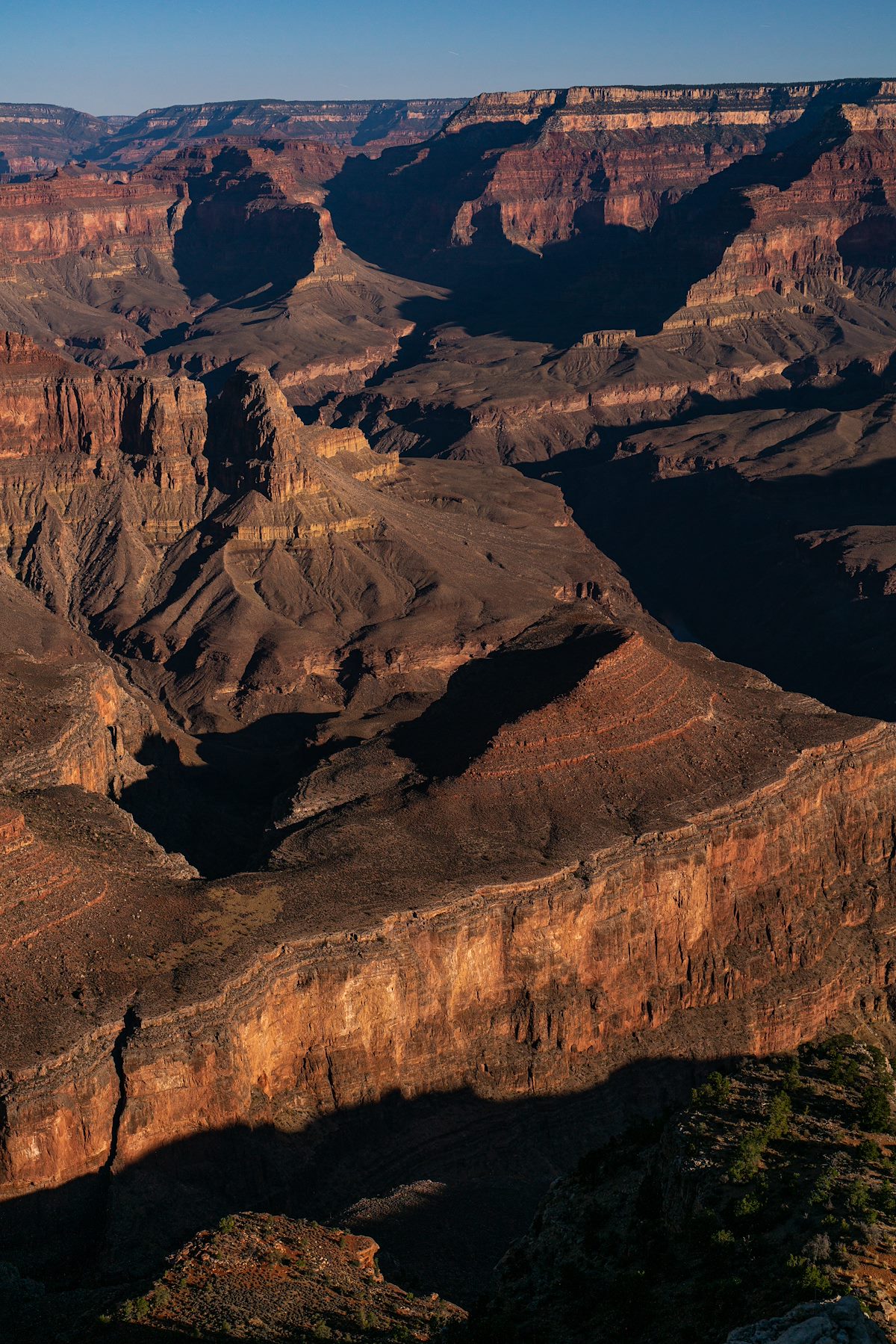
At Yuma Point well before sunrise we settle in and enjoy the views, sunset, moonrise, full moon and sunrise.

2020 September Sunset on Yuma Point looking towards Isis Temple
Sunset on Yuma Point looking towards Isis Temple. Charles Miles. 9/30/2020.
2020 September Moonrise on Yuma Point
Moonrise on Yuma Point. Charles Miles. 9/30/2020.
2020 September Looking Down from Yuma Point to moonlit Whites and Marsh Buttes
Looking Down from Yuma Point to moonlit Whites and Marsh Buttes. Charles Miles. 9/30/2020.
2020 October Sunset Light on Whites Butte from Yuma Point
Sunset Light on Whites Butte from Yuma Point. Charles Miles. 10/1/2020.
2020 October Sunset Light in the Grand Canyon from Yuma Point
Sunset Light in the Grand Canyon from Yuma Point. Charles Miles. 10/1/2020.

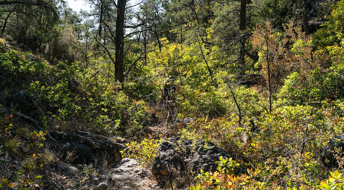
Half way back to the truck small oaks fill a canyon near Boucher's Silver Bell Route - we briefly follow the old trail before climbing back to the open forest on the top of the mesa and making our way back to the truck.

2020 October An Oak Filled Canyon on Eremita Mesa near the Silver Bell Route
An Oak Filled Canyon on Eremita Mesa near the Silver Bell Route. Charles Miles. 10/1/2020.

Tags:
Posts Before/After: