From the northeast corner of the Coyote Mountains Wilderness an old road heads west along the base of the mountains before turning north, leaving the Wilderness, and entering the Tohono O'odham Nation.
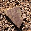
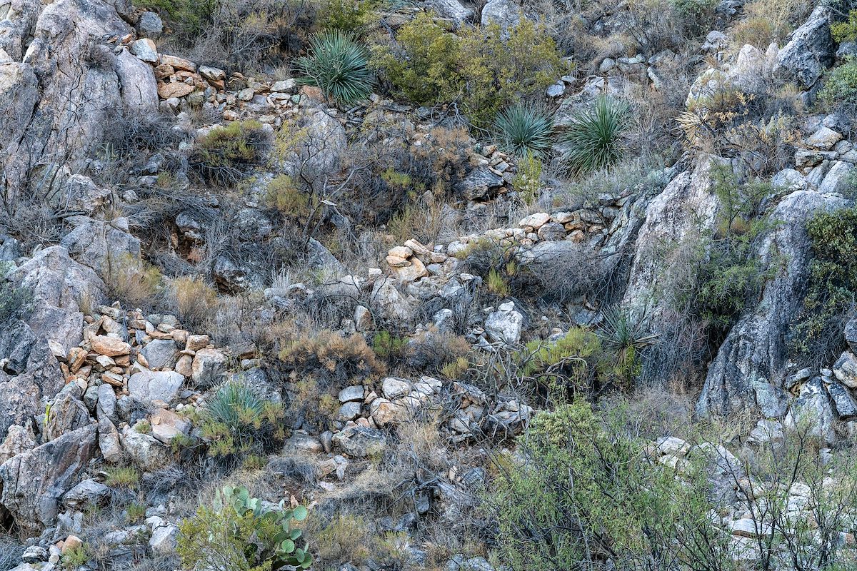
From the road USGS 7.5' Maps show two trails climbing to the ridge to the south. I didn't find a definitive start to the eastern trail - and didn't actually have much hope of finding anything more than an interesting idea about which way to go. But to my surprise these trails still have many sections where built up sidewalls and other construction details are still clearly visible! Even with recognizable sections the trails are rough, vague, discontinuous, grown over - and fun to try to follow.
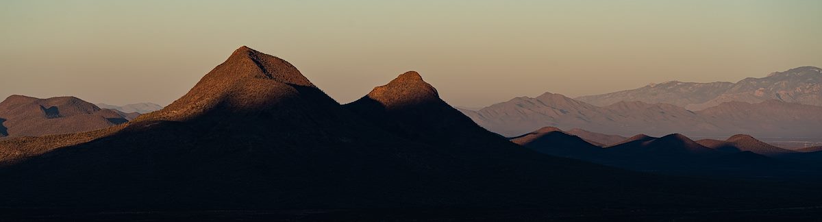
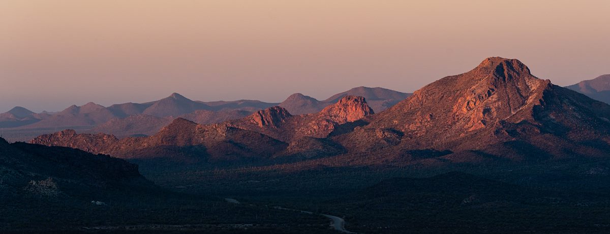
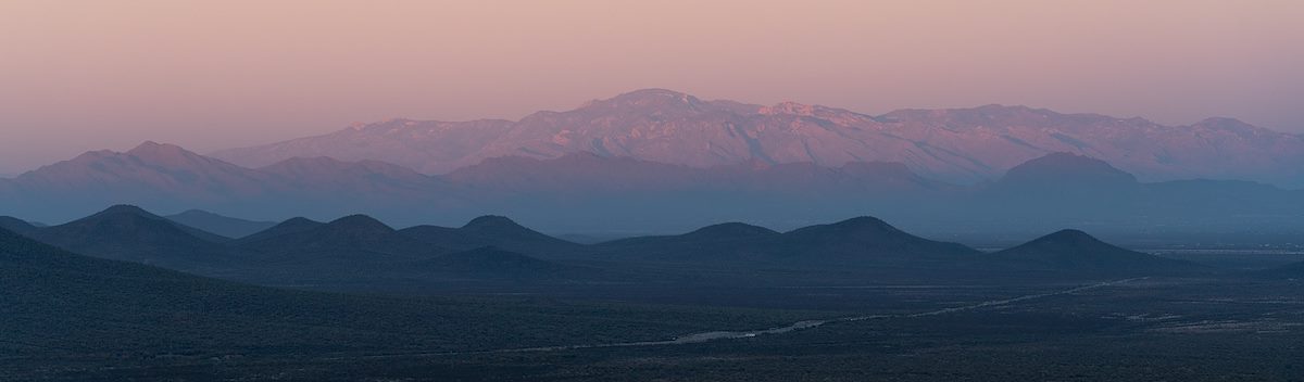
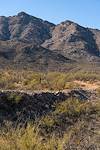
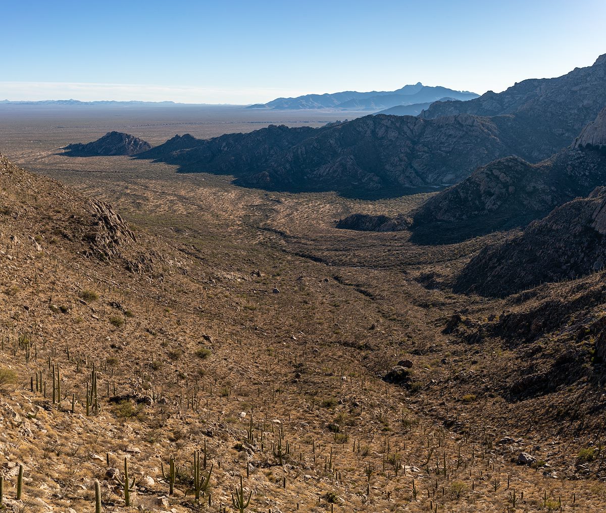
Back on the road for sunset the view is new to me - Ironwood in the distance with Bell Mountain, Sharp Peak and Martina Mountain immediately to the north. The beautiful light fades and the loop finishes in peaceful darkness.