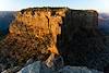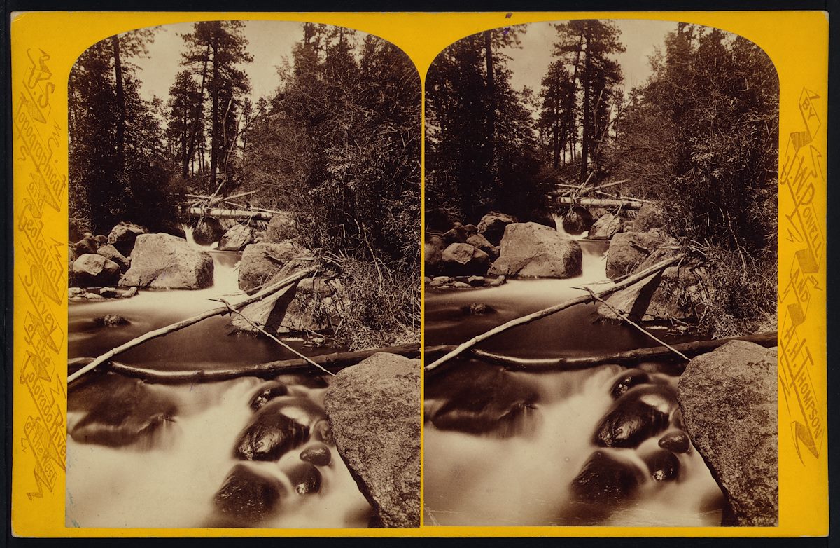
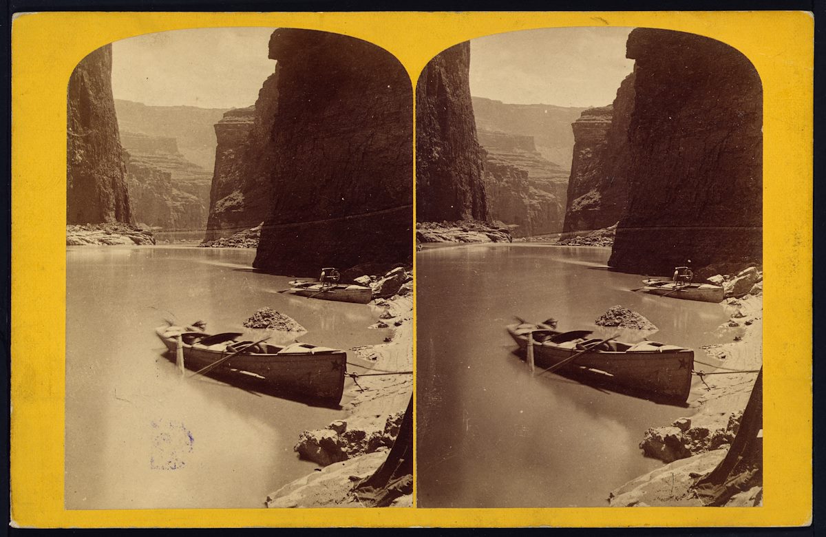
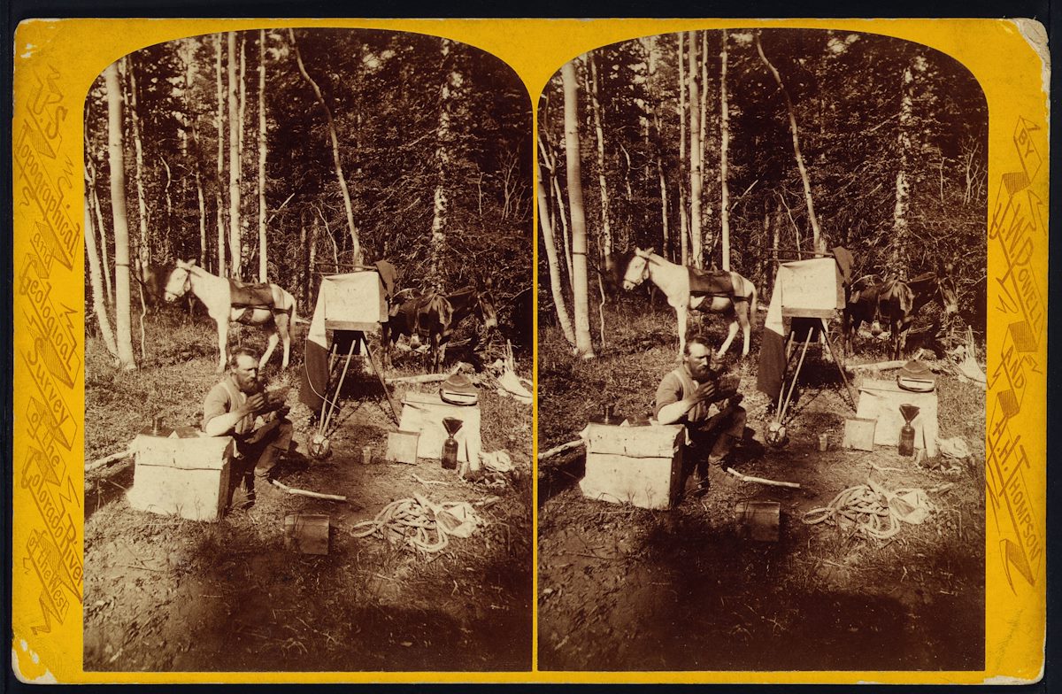
The Western Photographs of John K. Hillers - Myself in the Water, by Don D. Fowler: John Karl Hillers started with John Wesley Powell as a boatman, became an assistant to various photographers and eventually explored the west as the primary photographer on a number of expeditions. I had seen photography from the Western Surveys of the late 1800s a number of times before and always came away unmoved. So it was a bit of a surprise to find myself so enthralled by Hillers' photography. I'm not sure exactly what changed over the years, reading more history, visiting more of the west, more understanding of the effort it took to produce these photos or maybe just seeing more landscape photography - regardless these photographs now seem like beautiful treasures...
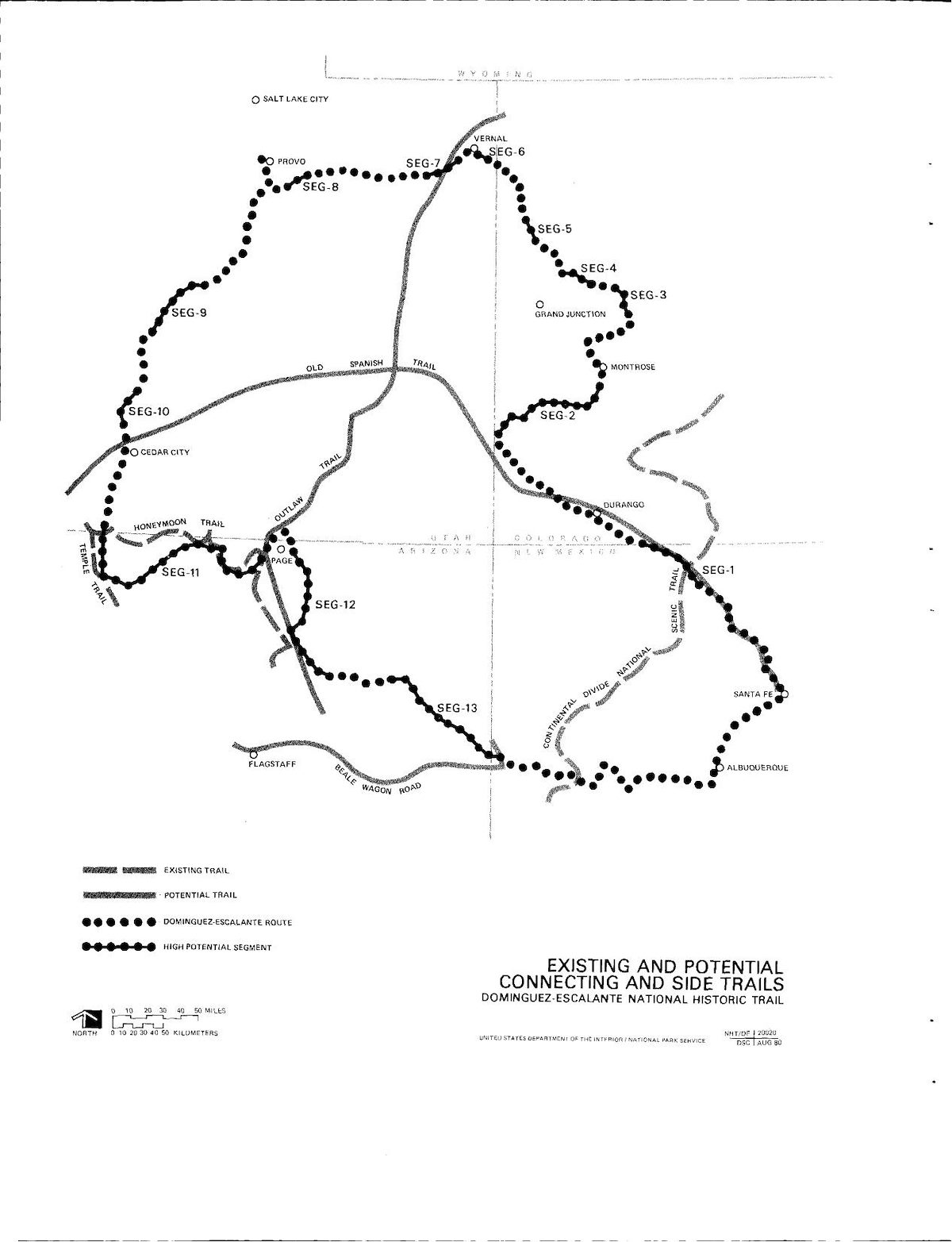
Escalante's Dream: On the Trail of the Spanish Discovery of the Southwest by David Roberts - In 1776 Fray Francisco Atanasio Domínguez and Fray Francisco Silvestre Vélez de Escalante led an expedition from Santa Fe with the goal of reaching the Spanish missions in California. They didn't make it to the Pacific, they didn't even really come close, but they did make an amazing loop thru what is today New Mexico, Colorado, Utah and Arizona. In Escalante's Dream David Roberts and his wife set out to follow the path of the expedition in modern road trip style. Roberts' book mixes excerpts from Escalante's diary and historic details with conversations with locals and personal observations - a welcome mix that layers modern context and anchor points over the expedition's historic route. Without the modern day context it would have been much harder to understand where the expedition went and the landscape they traveled thru would have been quite a bit more abstract. Well worth reading, and at least for me, a great first book on the Escalante and Domínguez expedition.
Paiutes, Mormons and Mericats: A History of Grand Canyon-Parashant National Monument: Designated on January 11, 2000 the Grand Canyon Parashant National Monument occupies over a million acres of land stretching north from the rim of the Grand Canyon, west of the National Park and east of Lake Mead. Frederick L. Brown's 2009 history of the area is an incomplete draft freely available from the National Park Service's Historical Documents Page. Starting with a brief history of the native peoples the draft makes it thru the arrival of Europeans, early Mormon settlement and use, mining, ranching, timber and homesteading before ending in 1936. Largely unfamiliar with this area and interested in taking a dive into its history I thought this PDF was fantastic.
I Am the Grand Canyon, The Story of the Havasupai People, by Stephen Hirst - Interesting information about the long history of the Havasupai people in the Grand Canyon from traditional lifeways thru the modern times. There are many interesting details in the book, but one topic that is both prominent and sadly memorable is the Havasupai's nearly 100 year struggle over land use and reservation boundaries. Sometime after finishing the book I found the quote below from Jeff Ingram on his Celebrating the Grand Canyon site about this issue:
I regret that an extensive, plateau-including Havasupai reserve was not set up in 1880. Imagine, given that they were never pushed & pulled or battered (compare with the Hualapai and Southern Paiute), the Havasupai would have had a chance to have maintained their seasonally oriented life. Whatever might have been the effect on later Park boundaries, I regret that the responsible US Army officers, the whitefolk miners, and even the Havasupai themselves did not see their way clear to set up the same sort of reserve that those officers were at that moment establishing for the Hualapai. And which took 90 more years for Congress to create.