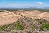
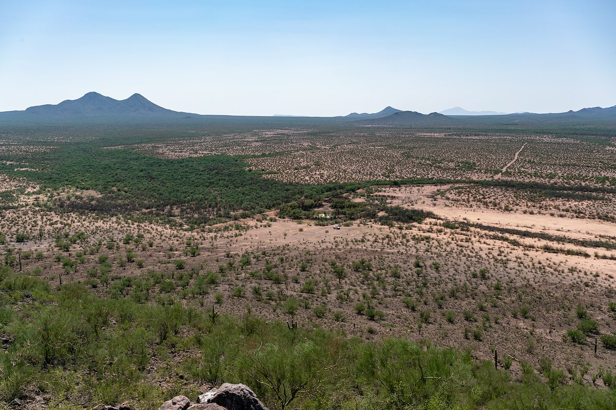
A small hill above a tank and dam - El Represso de Lamita - near Agua Blanca Ranch Road in Ironwood Forest National Monument.
Lat: 32.29674, Long: -111.38455, Elevation: 2,362', 719.94m', OSM Cycle Maps, Google Maps
A small hill above a tank and dam - El Represso de Lamita - near Agua Blanca Ranch Road in Ironwood Forest National Monument.