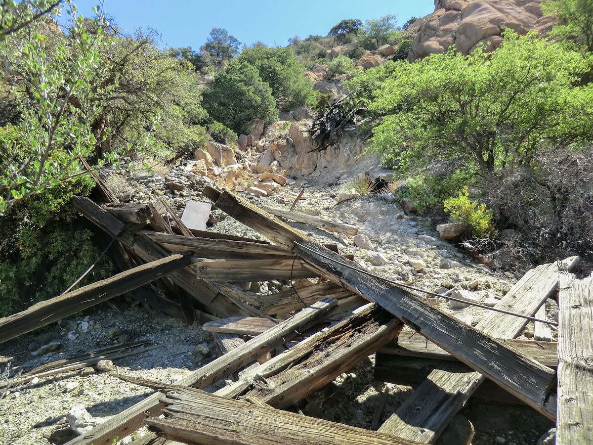
2013 May Abril Mine Ore Chute and Debris: http://www.gvrhc.org/Library/SlavinGulch.pdf indicates that the Abril mine was worked from 1914 to 1952. Charles Miles. 5/21/2013.
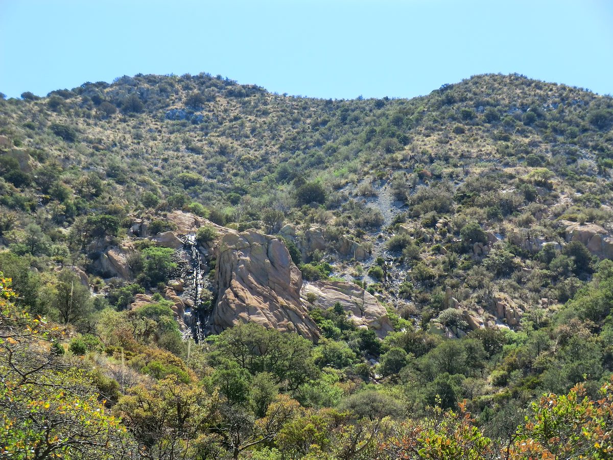
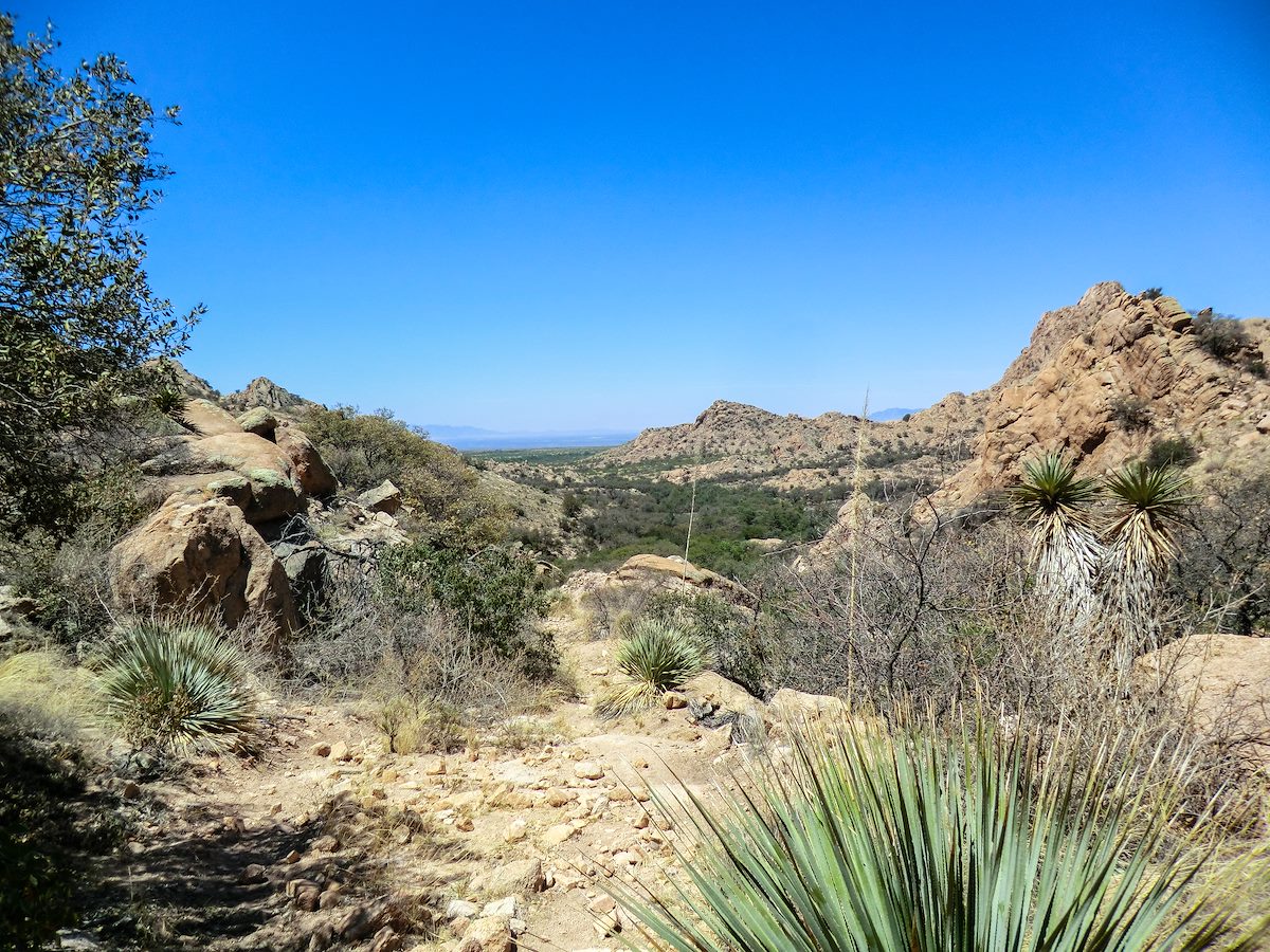
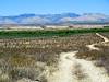
I started the AM with the intent of just doing a quick run on Forest Road 687 to fill in a gap in my section hike of the Sky Island Traverse (my first post about the SKIT), but when I arrived at the Slavin Gulch Trailhead I could not resist going up the trail. The trail winds thru some great terrain - great rock formations, shade from cliffs, lovely dry wash and good views - the trail was fairly easy to follow and I never spent more than a few minutes wondering if I had gotten off track. The day was warming up fast but I was too close to turn around and kept going to the area pictured above - this is below the Abril mine and the old ore chute is visible in the top of the picture near my turn around point.
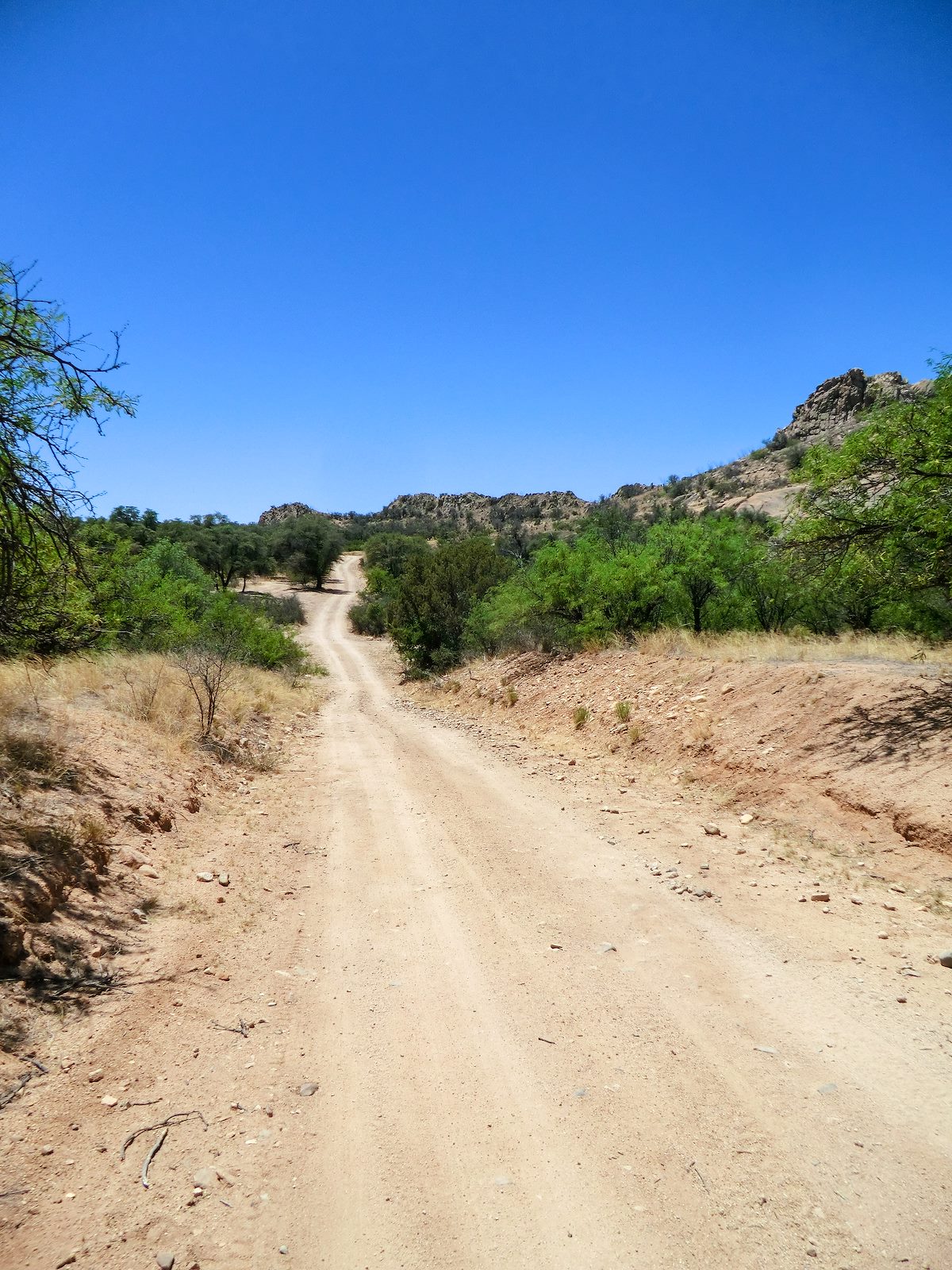
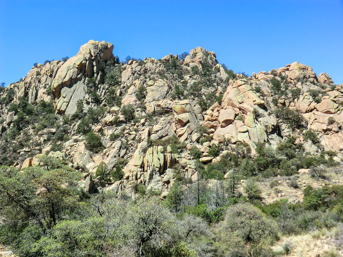
2013 May Abandoned and Collapsed Abril Mine Control Building: http://www.gvrhc.org/Library/SlavinGulch.pdf has some great information on Slavin Gulch and the Abril Mine including a picture identifying this as the control building for the mine - beautiful spot. Charles Miles. 5/21/2013.2013 May Abril Mine Ore Chute: Note the old ore chute from the Abril mine, here and from a distance on the hike it looks a bit like a water stain (which would have been welcome on this rather warm day!). Charles Miles. 5/21/2013.2013 May Forest Road 687-Heading Out: Seemed longer and hotter on the way back to the car - running/hiking this section of road as part of doing section of the Sky Island Traverse. Charles Miles. 5/21/2013.2013 May Junction of Middlemarch and Forest Road 687 looking towards Sheedshead: Beautiful beautiful domes... Charles Miles. 5/21/2013.2013 May Overlooking the Lower Section of the Slavin Gulch Trail. Charles Miles. 5/21/2013.2013 May Rock Formations: My small point-and-shoot was no match for the bright sun and this picture only hints at the complex and amazing color that the rocks have in this area, beautiful! Charles Miles. 5/21/2013.