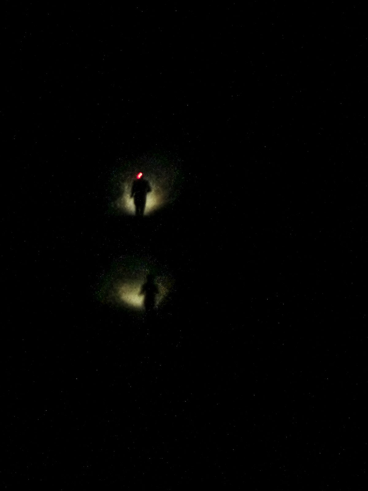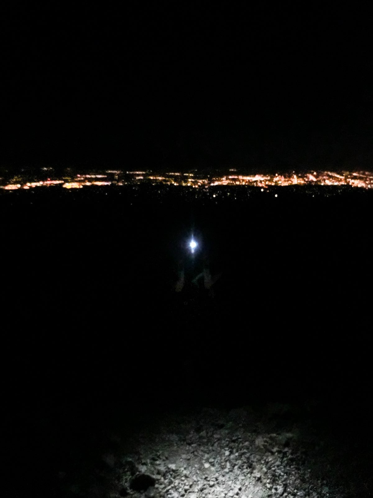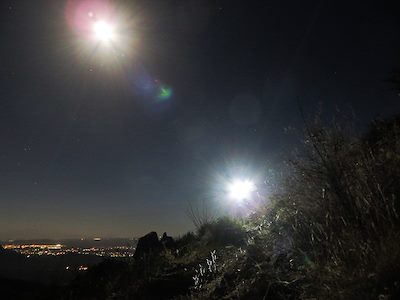
Wasson Peak is the Highest point in the Tucson Mountains and has several possible approaches - tonight we picked the King Canyon trail - Alison, Kirsten, Richard and I started at 9pm and made our way up the rocky trails to Wasson Peak under the light of a nearly full moon. Spider eyes sparkling in our headlamps, a bit of wind at the top, an escape from the increasingly hot Tucson days, great company!
Trails in the Tucson Mountain District - This is a simple but useful map of the area, no topographic detail and does not cover everything in the area but still very useful!
HikeArizona - King Canyon Trail - good source for information including GPS track of the trail.
Summit Hut Trail Talk Blog - King Canyon - a nice post by Dave Baker and map - includes a great link to a picture of John Wasson!