Pointless Waymarks

Ramblings, Questionable Geographics, Photographic Half-truths

Winkelman Natural Resources Conservation District 2012 Field Report

Created by Charles Miles on 5/28/2020. Updated on 3/24/2024.

The 2012 Field Report from the Winkelman Natural Resources Conservation District which covers Oracle, San Manuel, the Lower San Pedro River, Mammoth, Wikelman, Aravaipa, Kearny...

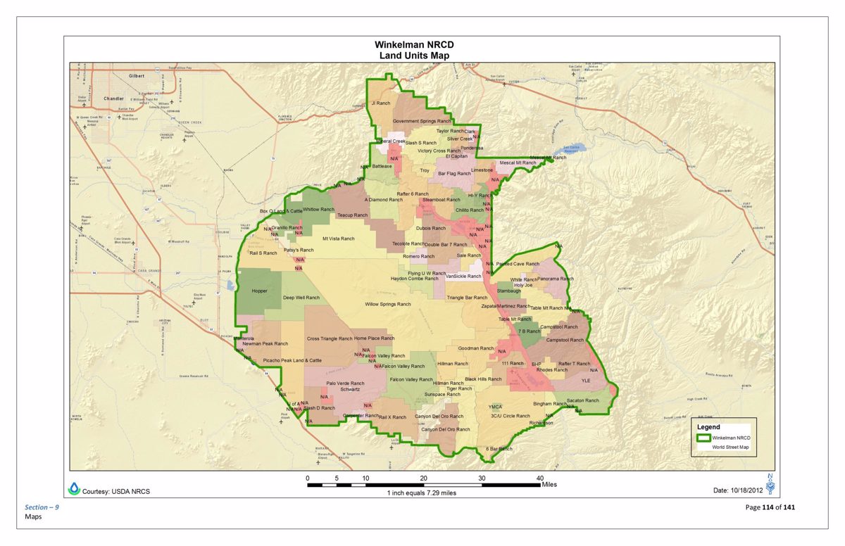
The Winkelman Natural Resources Conservation district stretches from Oracle north to Highway 60 and includes the lower San Pedro River, San Manuel, Aravaipa, Mammoth, Willow Springs and Kearny.

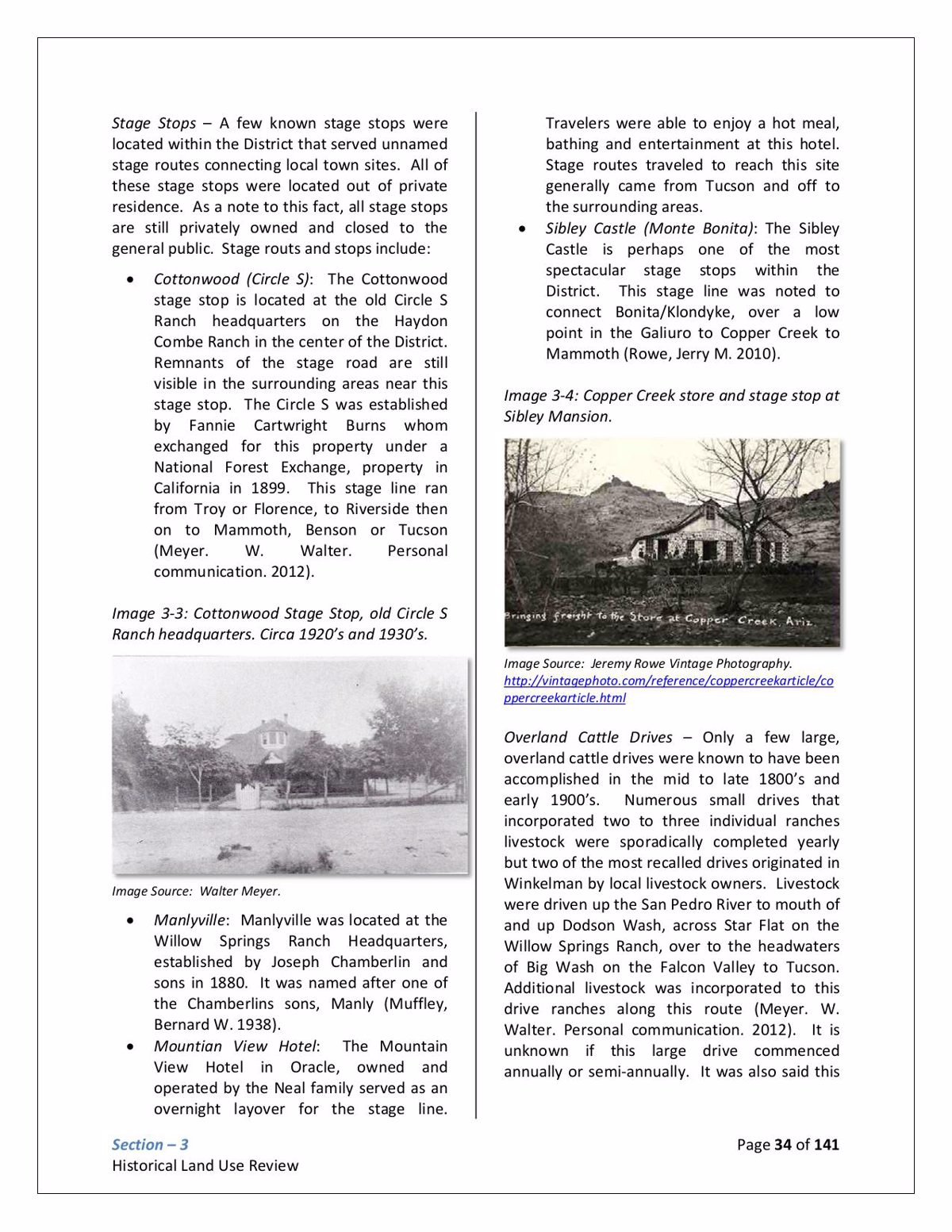
This 2012 Field report contains a broad array of information including archaeology, mines, historic towns and stagecoach stops, ranching, mines, farming and a long list of references.
Winkelman Natural Resources Conservation District 2012 Field Report - Page 34
Page 34 from Winkelman Natural Resources Conservation District 2012 Field Report showing some of the historic Stage Stops in the district.
Winkelman Natural Resources Conservation District 2012 Field Report - Page 134
Page 134 from Winkelman Natural Resources Conservation District 2012 Field Report showing the district boundaries and land units.

Source: Main Report PDF and Appendix 9 PDF from Winkelman Natural Resource Conservation District Documents

Download
Tags: