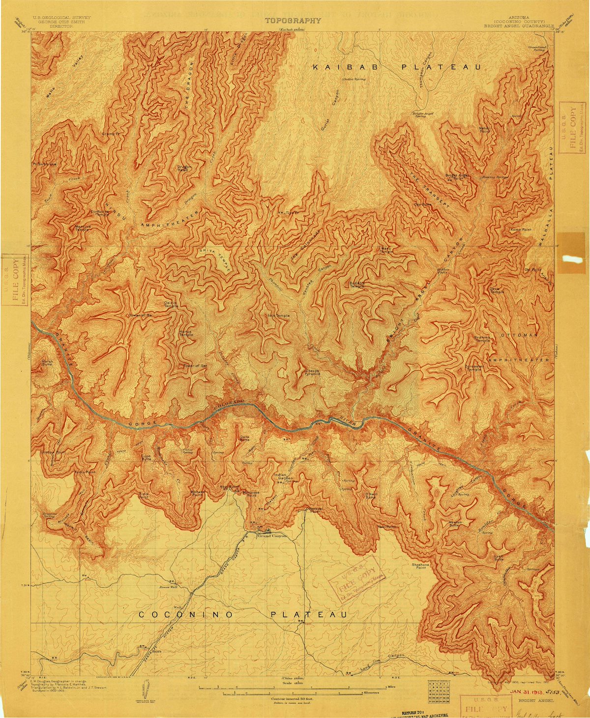
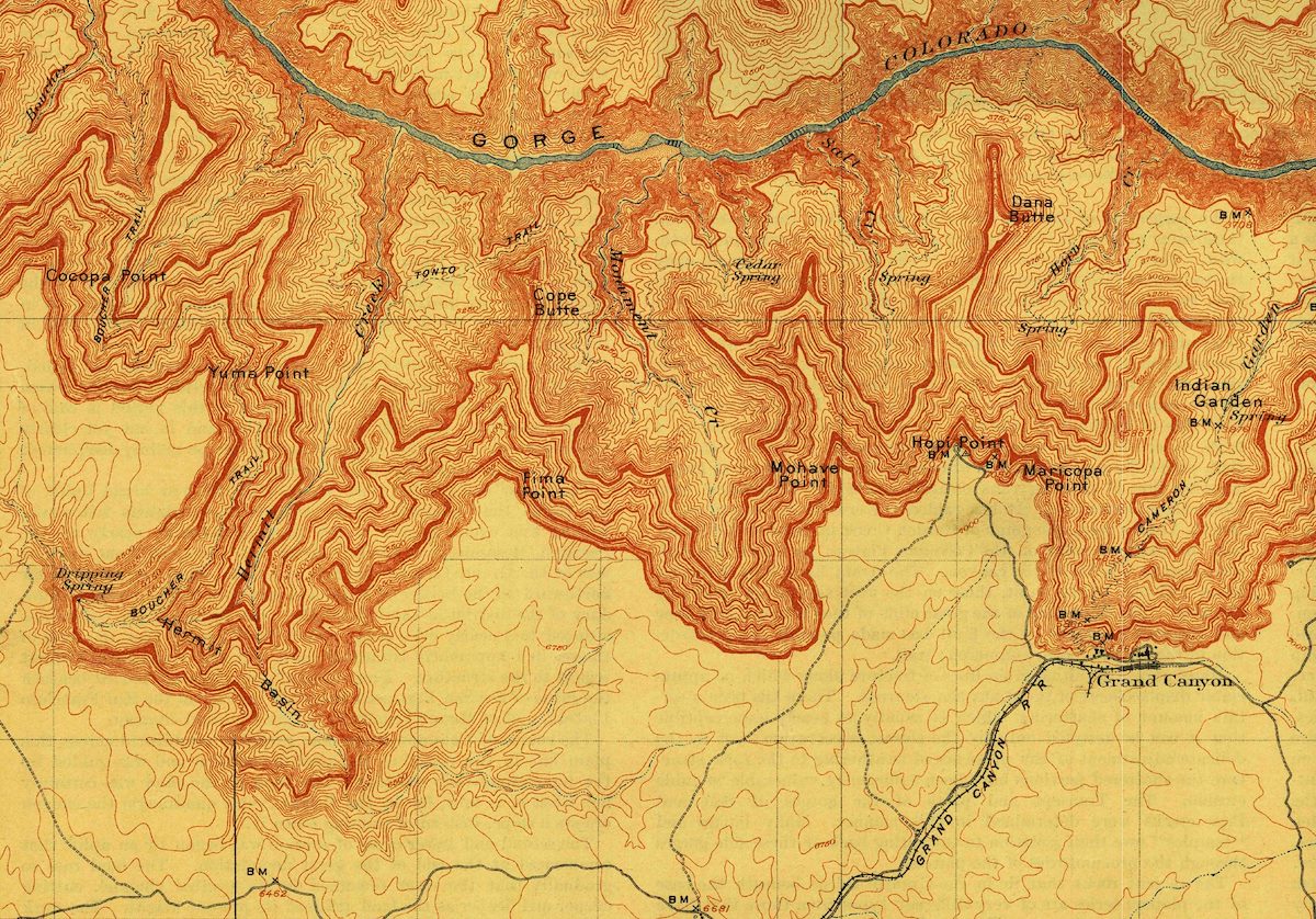
A section of a 1912 reprint of the 1:48,000 scale USGS Bright Angel topo map showing Cocopa Point on the west/left and what would become the Grand Canyon Village on the east/right.
A detail from:
The 1:48,000 Bright Angel USGS Topo - edition of May 1906, November 1912.
Created by Charles Miles on 10/19/2020. Updated on 6/26/2026.