Pointless Waymarks

Ramblings, Questionable Geographics, Photographic Half-truths

Manville Road Entrance

Created by Charles Miles on 12/16/2020. Updated on 12/18/2020.

Lat: 32.29155, Long: -111.34695, Elevation: 7,864', 2396.95m', OSM Cycle Maps, Google Maps

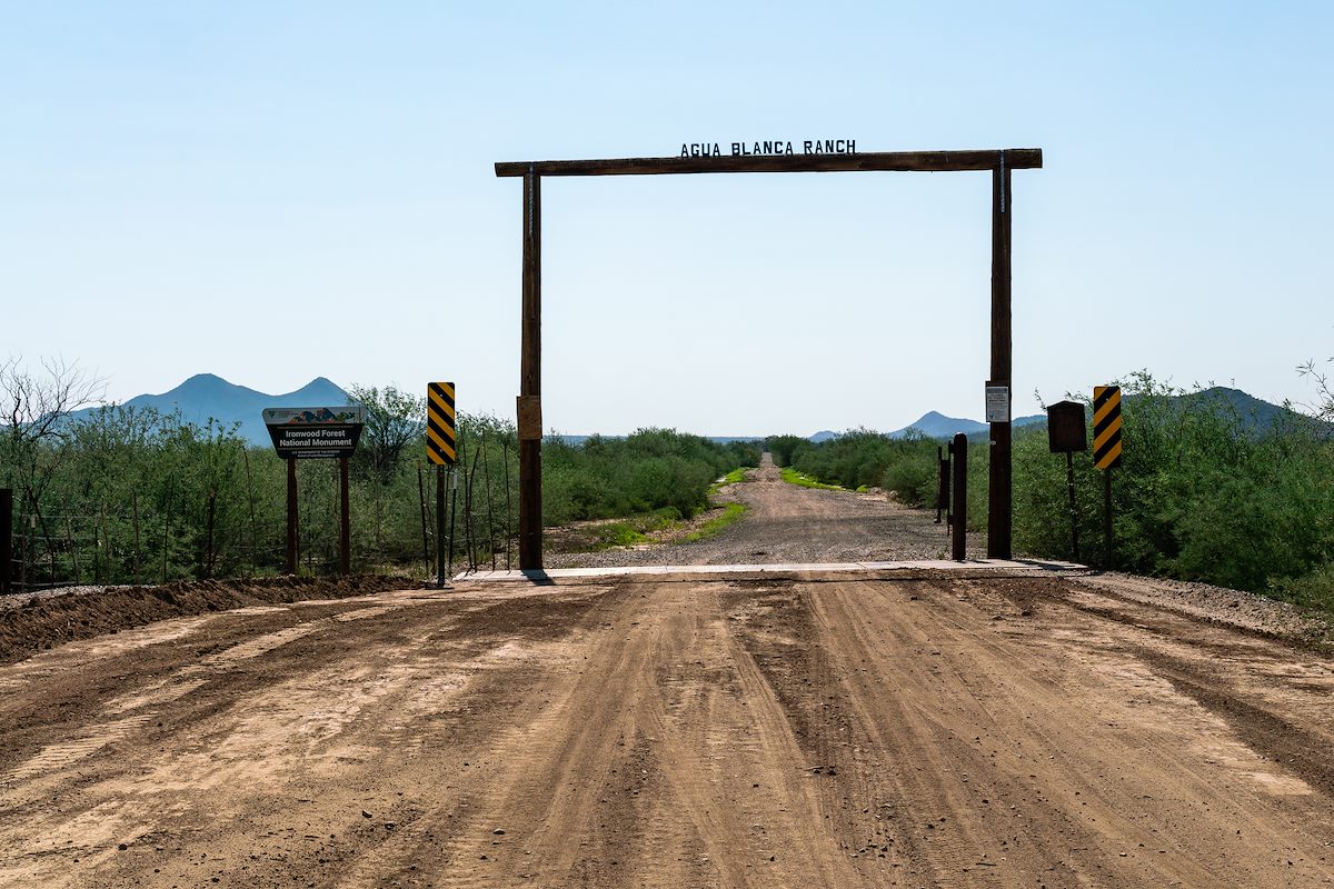
2018 August Agua Blanca Ranch Sign at the Manville Road Entrance to the Ironwood Forest National Monument
2018 August Agua Blanca Ranch Sign at the Manville Road Entrance to the Ironwood Forest National Monument. Charles Miles. 8/6/2018.

An entrance into Ironwood Forest National Monument on Manville Road that passes under an old Agua Blanca Ranch sign. There is a large parking lot to the north just beyond the Agua Blanca Ranch sign.

As the road heads into the monument towards the Stone Goat Ranch its name changes to Agua Blanca Ranch Road.

Agua Blanca Ranch Road is a rough dirt track featuring mud (when wet...), sand, tight wash and rocky sections. There are not any trails off Manville Road but it can be used to access Dos Titos. .


Tags: