It only took a quick visit to the Backcountry Information Center for a permit - an overnight to Comanche point is too moderate to trigger any discussions about difficulty and Backcountry Use Area SA9, 'Cape Solitude', located on the rim north of the Desert View Watchtower, is not in high demand - 20 permits were issued for all of 2018...
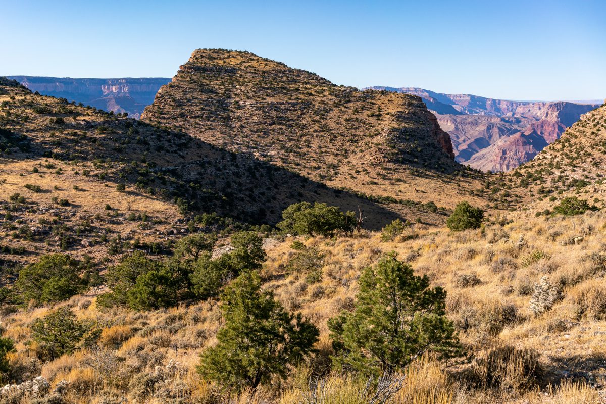
The hike is fairly straightforward - down towards Cedar Mountain from Desert View on the old road, a turn onto the trail out to Cape Solitude, another dirt road, cross-country to the base and a steep climb to the top.
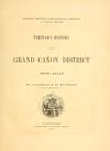
My guess is that the lack of trails and river access have kept this area somewhat obscure. I understand, hiking down into the canyon does have a magnetic draw, but being alone on the rim also has a special kind of magic - as Clarence Dutton wrote in his 1882 Tertiary history of the Grand Canyon District, p. 140:
Of course there are degrees in the magnitude and power of the pictures presented, but the smallest and least powerful is tremendous and too great for comprehension.
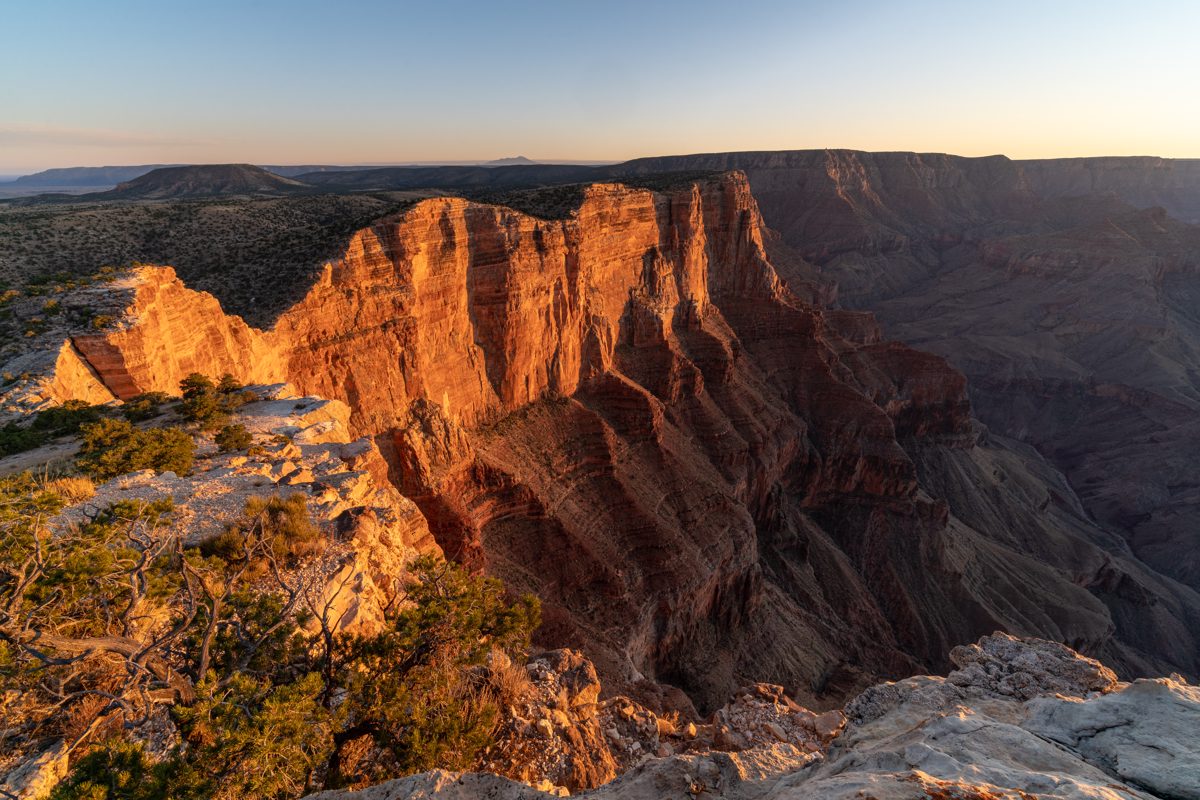
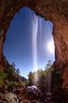
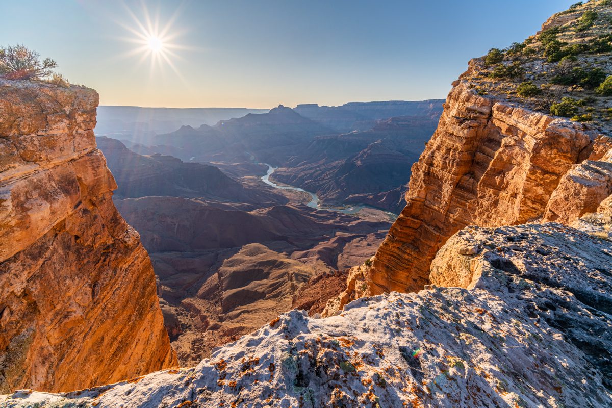
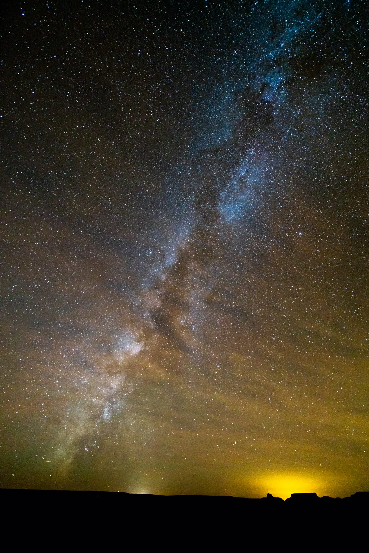
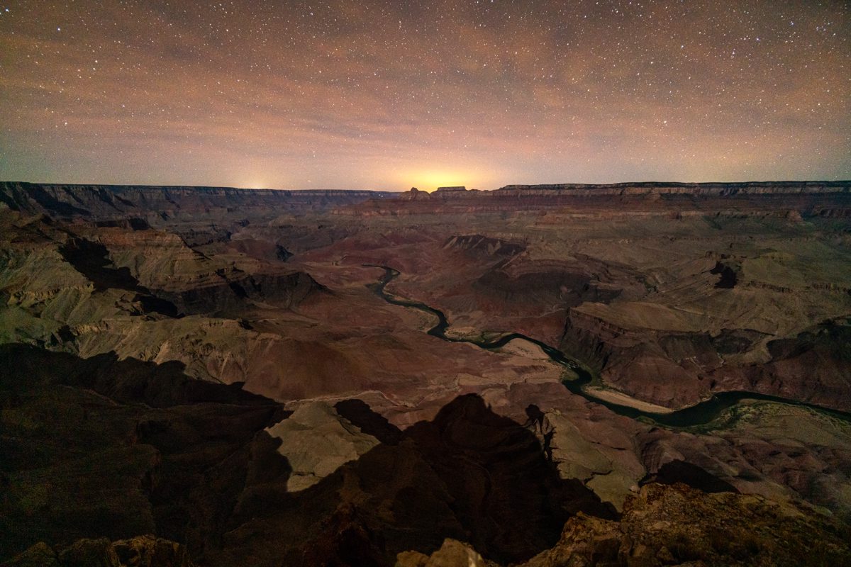
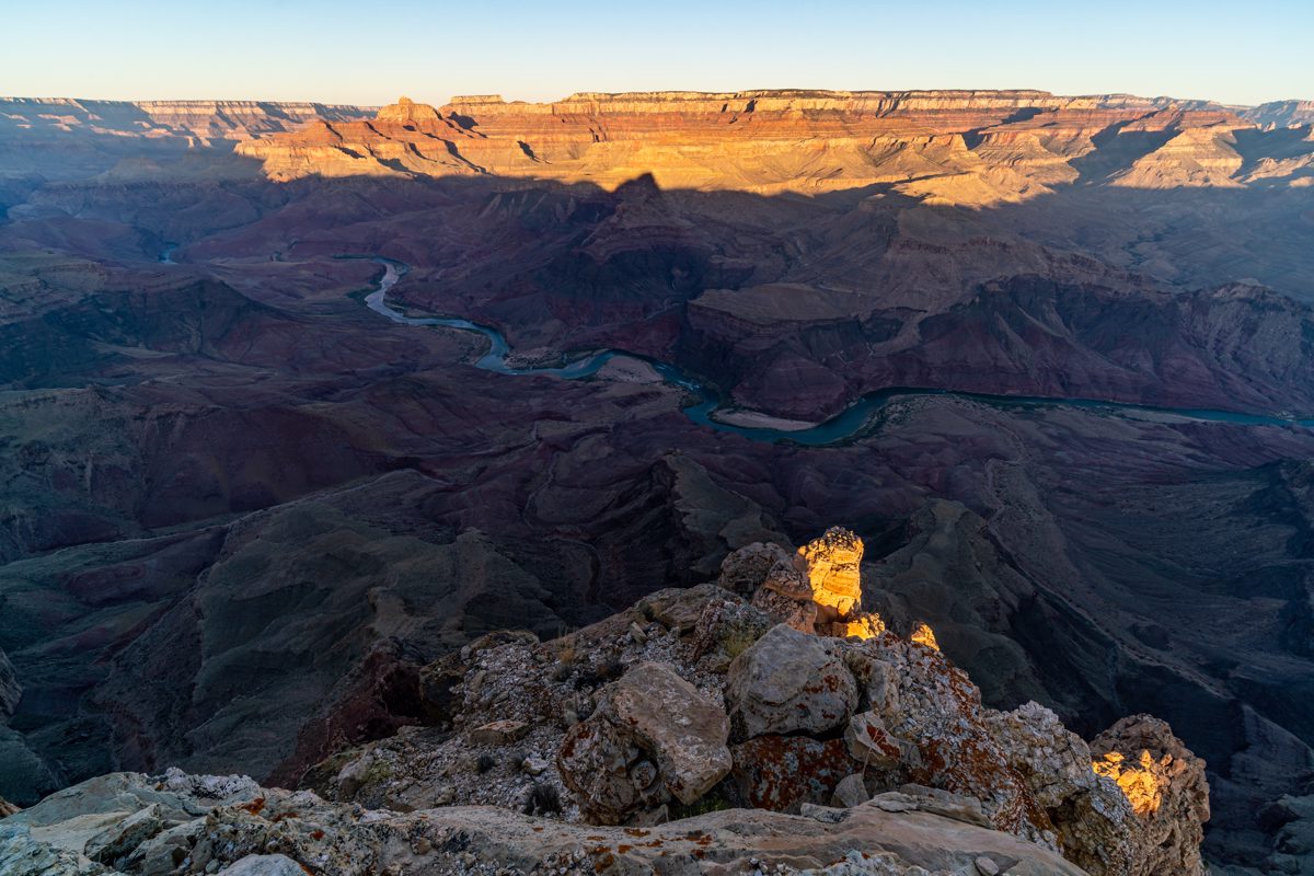
Stars and Milky Way, moon and then sunrise. It's hard to leave the warm sleeping bag and get up to take pictures, but it is a beautiful privilege to be alone on Comanche Point and an enjoyable challenge to try to capture a little of the feeling.
Notes:
- The American Southwest - Comanche Point Trail, Grand Canyon National Park, Arizona - good information on the hike including a topo map. I found the description helpful and would add:
- I believe 'route' line on the map above is best considered a 'helpful and reasonable suggestion for cross-country off-trail travel' and not a 'well beaten unofficial route'.
- I used Gaia to help navigate and found the USFS or USGS layers useful for showing some of the old roads not on the National Geographic map.
- I found single track parallel to the old two track in a couple of places.
- Comanche Point, AZ | HikeArizona - I found the descriptions in the link above more useful but this has good information and the handful of trip logs are fun to read. Several of the trip logs on this page start with a drive down the road towards Cedar Mountain - the road isn't in great shape with deep rocky ruts cut awkwardly into the road bed, even with a capable 4wd vehicle I would (strongly) recommend parking at the top and hiking the road. It adds some miles but there are great views and I suspect most hikers can hike the road faster (and with less stress) than they can drive it.
- A fun low hassle way to 'scout' this area is to do a day hike to Cedar Mountain - a fun destination with the same start as a hike to Comanche Point (btw a loop around Cedar Mountain would take you onto the Navajo Nation which - as far as I know - would require a permit to legally access.)
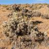
- I was warned at the Backcountry Desk to carry all the water I needed - I did see some water while hiking but it was unhelpfully located and I was glad I packed enough water for the entire trip - maybe in a wet year or in the right season you could find water on the hike, but unless you have solid recent information indicating available water plan on packing it all in.
- Rock Climbing in Comanche Point, Northern Arizona - I didn't use any of the information from this page but found it interesting to know there was climbing in the area.
- Some basic information about the Comanche - Comanche - Wikipedia
- Comanche Point is mentioned a number of times in the J. Harvey Butchart Hiking Logs, fun reading but I didn't find anything directly useful or interesting for a trip to the summit - however I did very much enjoy seeing this image of the summit from 1957 Comanche toward Wotan; 12/29/57 - Colorado Plateau Digital Archives - Digital Collections.
