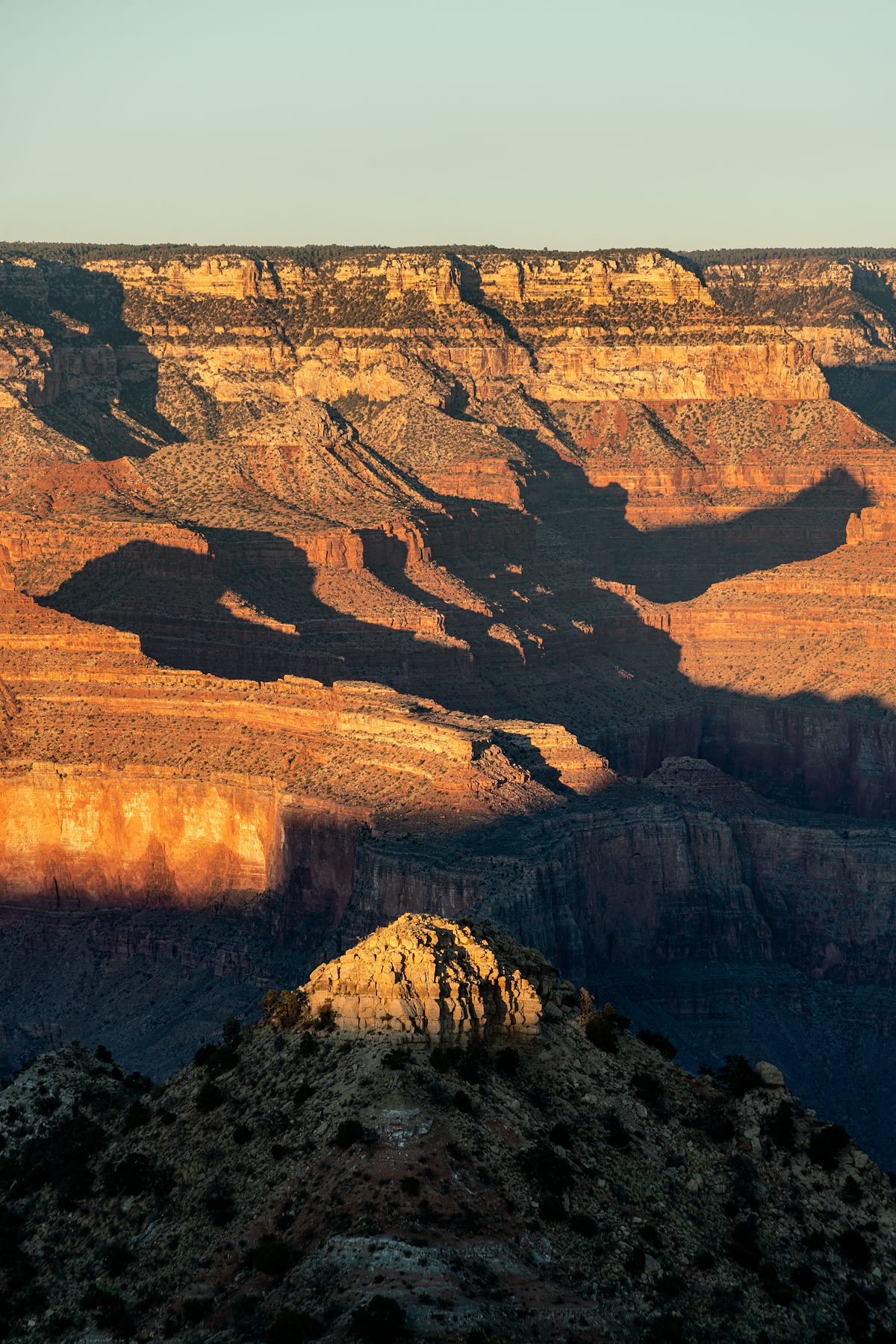
I can't quite say why - absurdity, humor, maybe some sort misguided sense of reverse-anti-coolness - but starting an adventure by driving the 'Maswick Laundry Road' seems somehow ...right...
Maswick Laundry Road exits the Grand Canyon South Rim Village, Rowe Well Road exits the National Park, Forest Road 328 exits the heavily used section of the South Rim heading for points west and I exit the truck on FR2501 near Sheep Tank - there are no sheep.
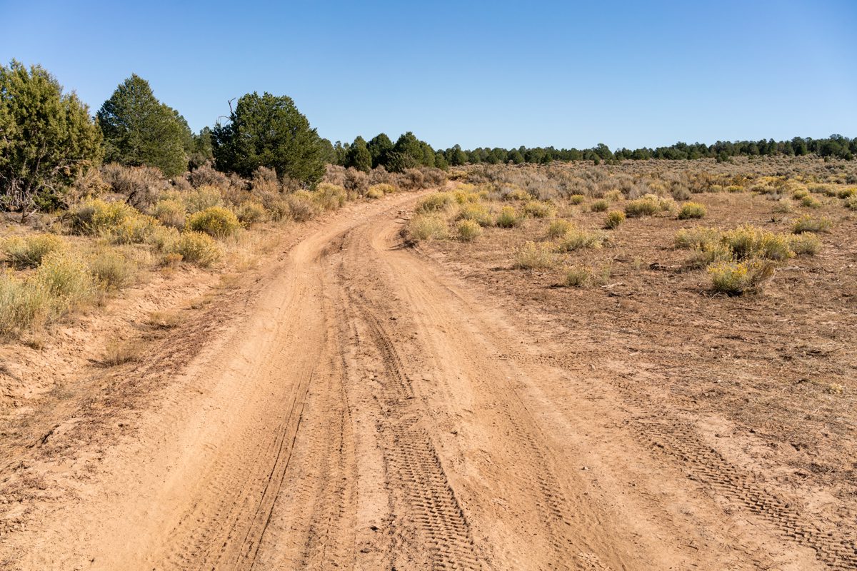
The hike starts with dirt roads - not a straight shot towards the rim, but close enough considering the ease of navigation, there are only faint tire tracks left by the fenced border of the National Park. Across the untracked Border Road is trail-less cross-country to the rim - easy walking (plus a few fences to crawl under) to the rim above Boucher Creek.
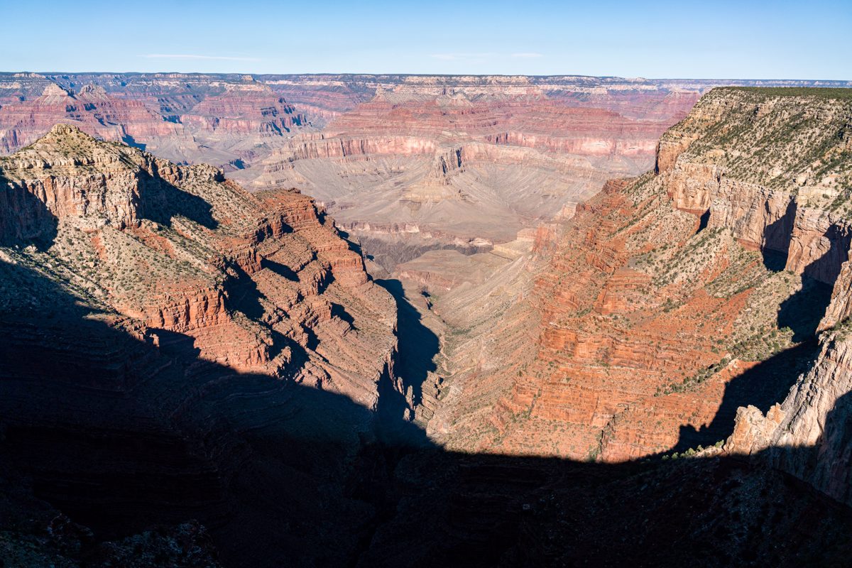
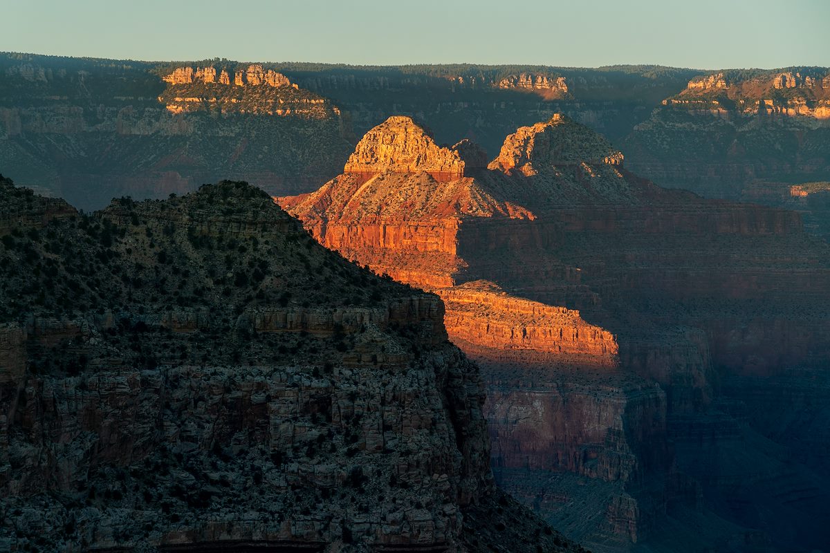
Mimbreno Point juts out into the Grand Canyon where Boucher Creek and Topaz Canyon are split by Vesta Temple. There are no established trails in the area, all the trails luring hikers down into the canyon are miles away - empty and, if you can tolerate the intrusion and noise of the helicopter traffic, wonderful.
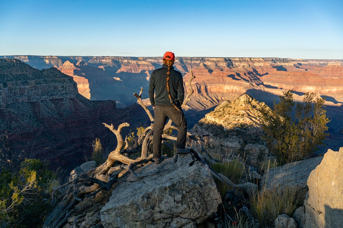
The day's last light creeps up Vesta Temple, it disappears into the shadows, Menicius and Confucius disappear too, sunset fades, time to head back.
Notes:
- Mimbreno Point: Mimbreno, Mescalero, Jicarilla and Piute Points, Grand Canyon National Park, Arizona - This describes a longer loop to multiple points. I didn't try to follow the exact hiking directions but having some general information on the area was appreciated.
- There aren't many search results for Mimbreno Point - I suspect one reason is because the point is basically easy off-trail hiking with few obstacles and relatively easy navigation. No epic adventures or hours lost due to going down the wrong ridge or canyon to write about...
- There is some very basic information on the Mimbreno Apaches in this article: Chiricahua - Wikipedia


