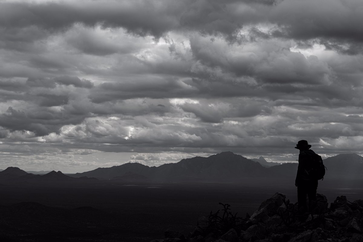
In Ironwood Forest National Monument Ragged Top's jagged summit and improbably steep non-technical hike gets the most attention from hikers - but Waterman and Silver Bell peaks are just as prominent on the skyline and are great opportunities to venture into IFNM's beautiful landscape.
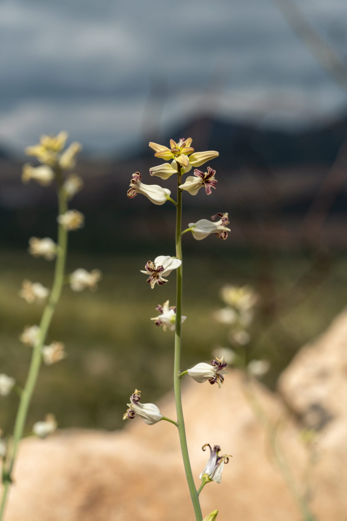
Waterman Peak has an interesting entry in Will C. Barnes' Arizona Place Names:
ABBIE WATERMAN PEAK
Pima Co.In T. 12 S., Rs. 8 & 9 E. Hornday speaks of it in his Camp Fires on Desert and Lava as being north of Robles Well, some 25 or 30 miles west of Tucson. He writes:
"North of Robles well-in-the-Desert rose a long imposing chain of mountains composed of the Roskruge range, Sam Hughes Butte, and the Abbie Waterman mountains. Beyond Abbie's real estate holdings were the Silver Bell mines." The Arizona Gazetter of 1881 says: "The Abbie Waterman is a silver mine of great promise which is being vigorously prospected by its owners." A note in the Arizona Pioneers Historical Society Library of Tucson says that the camp was first called "Silver Hill." Old timers say that the Peak was named for Abbie Waterman, wife of Governor Waterman of California, for whom the mine in these mountains was named. They claim that she was the first white woman to climb the peak.
This is undoubtedly an error. The identity of Abbie Waterman is so well established through George Roskruge and others who knew her and her husband as to admit of no question as to the peak being named after her. She was the wife of J. C. Waterman who came to Arizona from Missouri and lived at Oracle for several years. He was more of a farmer than a miner. While the peak was named for Abbie Waterman, the range itself was named for Gov. Waterman who was in no way related to her.
Camp-Fires on Desert and Lava, William T. Hornaday, Sc.D., quoted above is an interesting book about a 1907 expedition from Tucson, thru the Pinacate and to the Gulf of California. Hornaday was accompanied by notable Tucsonans Dr. Daniel Trembly MacDougal and Godfrey Sykes.
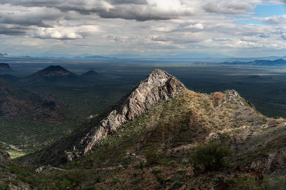
While I am not aware of any access issues the last part of the hike to, and summit of, Waterman Peak are on private property - you won't find a fence or signage marking/warning of the boundary, but you will eventually pass onto land owned by "Silver Hill Properties LLC" if you hike to the top.

To get to the Trailhead:
- Take Avra Valley Road West from I-10 towards the Silver Bell Mine.
- After about 20 miles turn left at a junction towards the Titan Missile Silo Interpretive Site and Johnstone Mine Road, the junction doesn't have a road sign but is marked by an old mailbox
- Stay on the 'main road' (don't turn towards the Titan Missile site) for 0.7 miles and look for a large dirt parking lot on the left side of the road - the parking area has signage indicating that target shooting is not permitted in the monument but you won't find any signage about hiking in the area
- The first part of the hike takes an old road up a drainage, the road is a bit obscure near the parking area but you should be able to find it without much effort
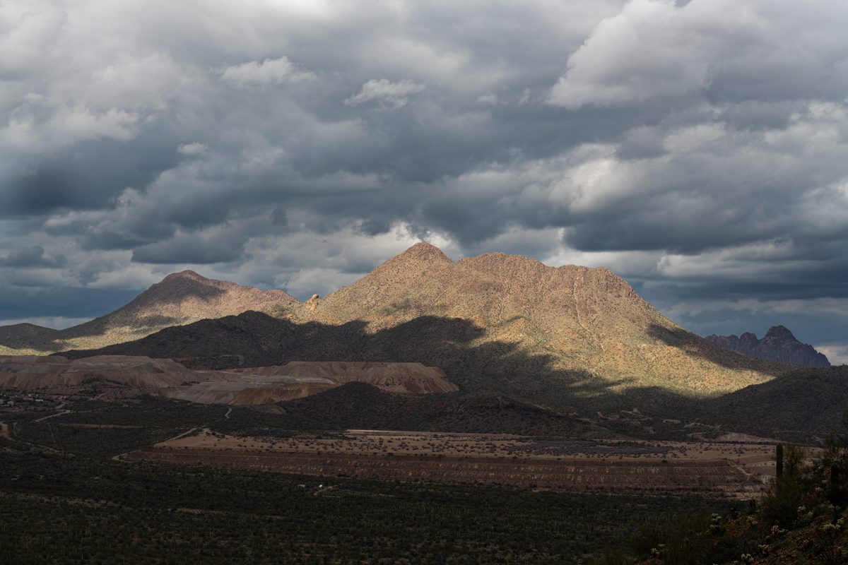
On the hike to the summit you are likely to see a memorial for Loren E. Leonberger. Mr. Leonberger was a helicopter pilot for the Pima County Sheriff’s Department - in 2011 he passed away in a crash near Waterman Road and Silverbell Road while scouting for possible radio tower locations.
Pilot with Sheriff Dept. is killed in copter crash | tucson.com
2019 Memorial Hike for Loren Leonberger | Arizona State Troopers Association

A few resources:
- Waterman Peak : Climbing, Hiking & Mountaineering : SummitPost - good description of the hike up - the photo captioned "The parking area and the initial route up the valley in the background" is useful for verifying you are in the right place to start the hike
- Waterman Peak AZ - www.surgent.net - a good description and useful pictures from 2016
- The Waterman Mountains | Desert Mountaineer - documents an interesting adventure and some nearby peaks, included for fun and interest - it will not help you find the 'commonly used' parking area or hike to the top


