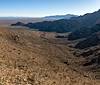
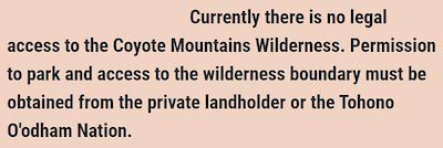
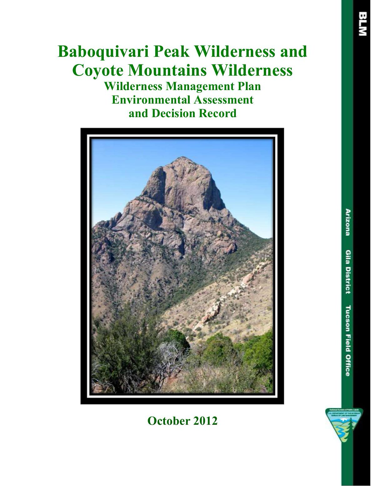
For many years the snippet below has appeared on the BLM's Coyote Mountains Wilderness page...
On the north and west the Coyote Mountains Wilderness is bordered by the Tohono O'odham Nation which has no formal system for obtaining recreational access.
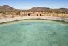
On the south the Wilderness is bordered by Arizona State Trust Land, Pima County's Old Hay Hook Ranch Land and blocks of private land owned by the King's Anvil Ranch (an excellent article about the ranch's history). The location of private lands and roads make access impossible without the cooperation of the Anvil Ranch and an Arizona State Trust Land Permit. Thankfully the ranch currently allows conditional access to the area. Mendoza Canyon - a well known climbing area - is accessed from the south.
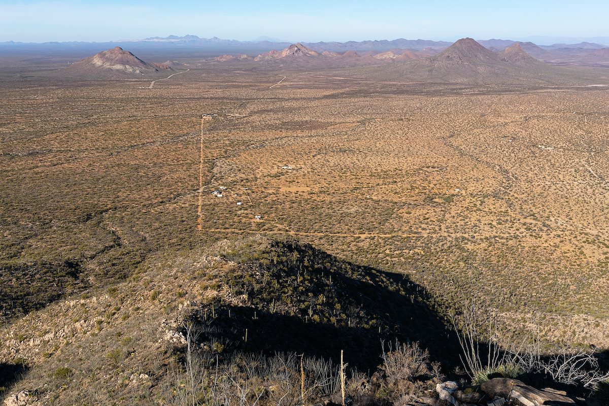
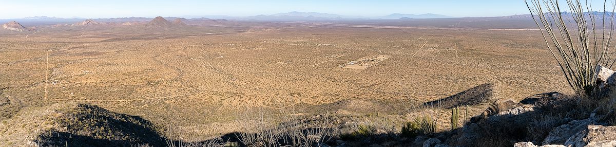
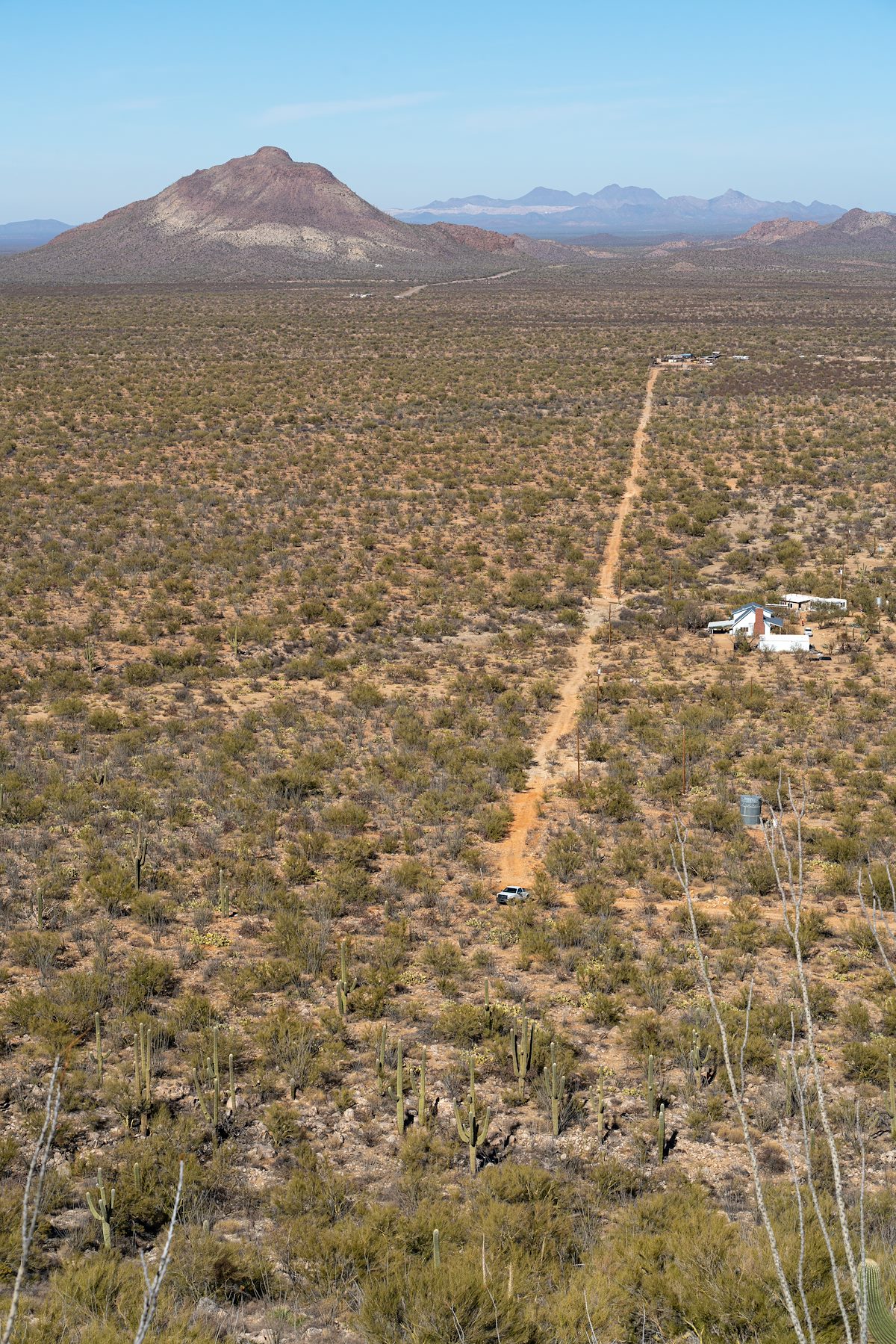
On the east the Coyote Mountains is bordered by rectangles of private land divided from the from the old Hay Hook Ranch. Several good dirt roads lead to the wilderness - but all of the land up to the edge is private and the roads lack Pima County easements... So while parking has been at least occasionally tolerated I don't believe it has ever been legal.
The access situation was acknowledged in the BLM's 2012 Baboquivari Peak Wilderness and Coyote Mountains Wilderness Wilderness Management Plan that lists as an objective "Securing up to two legal public access routes for Coyote Mountains Wilderness" (p. 37) and on p.15:
The majority of public inquiries received by Tucson Field Office regarding recreation are related to access to the boundaries and undeveloped portals in both areas. Currently, legal public access to the wilderness areas has not been obtained.
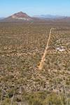
In late 2018 the BLM began the process of acquiring 477 acres in the Hay Hook Ranch area on the NE border of the Coyote Mountains Wilderness. On 8/14/2020 the Deed for the 477 acres was transferred from Rebuild America Inc. to the Arizona Land and Water Trust.
With this acquisition legal access to the Coyote Mountains takes a simple but important step forward - a legal area to park. You won't find signs or a formal parking area on the 477 acres - and no trails lead from this land out into the wilderness - just 'access' in it's simplest, and perhaps most important, form...