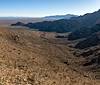
Between Sasco Road, on the north, and Silverbell, on the south, studying the area inside the boundaries of Ironwood Forest National Monument on the USGS 7.5' maps reveals a network of old dirt roads.
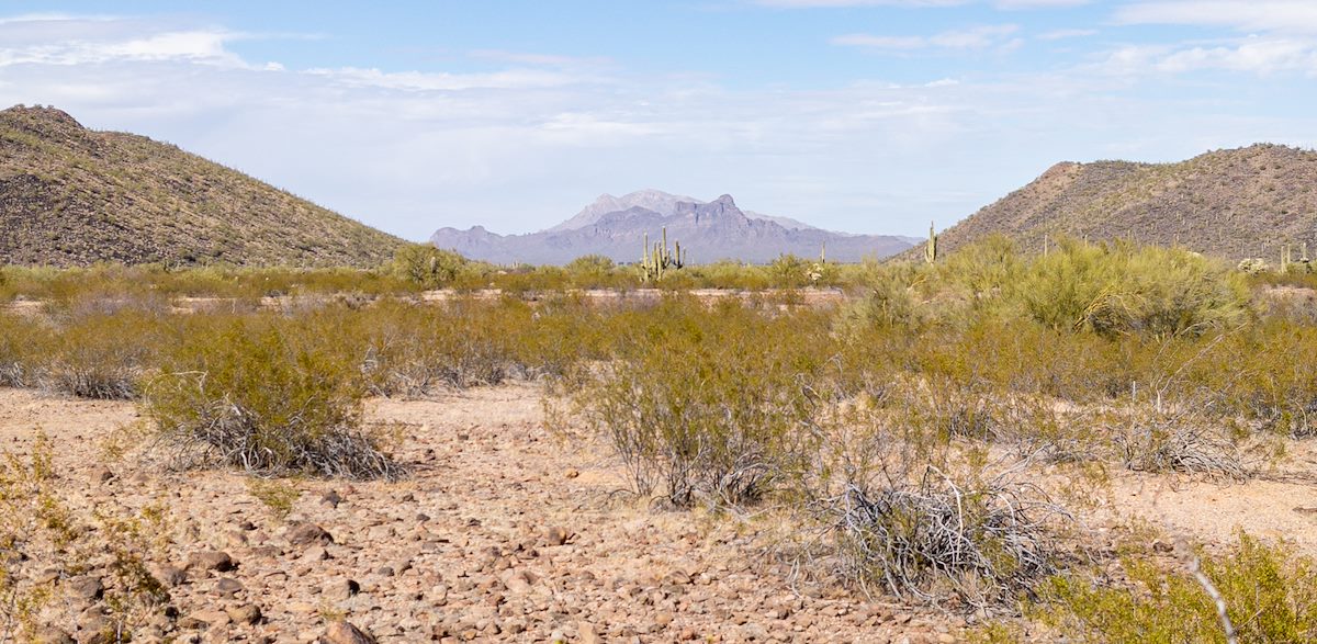
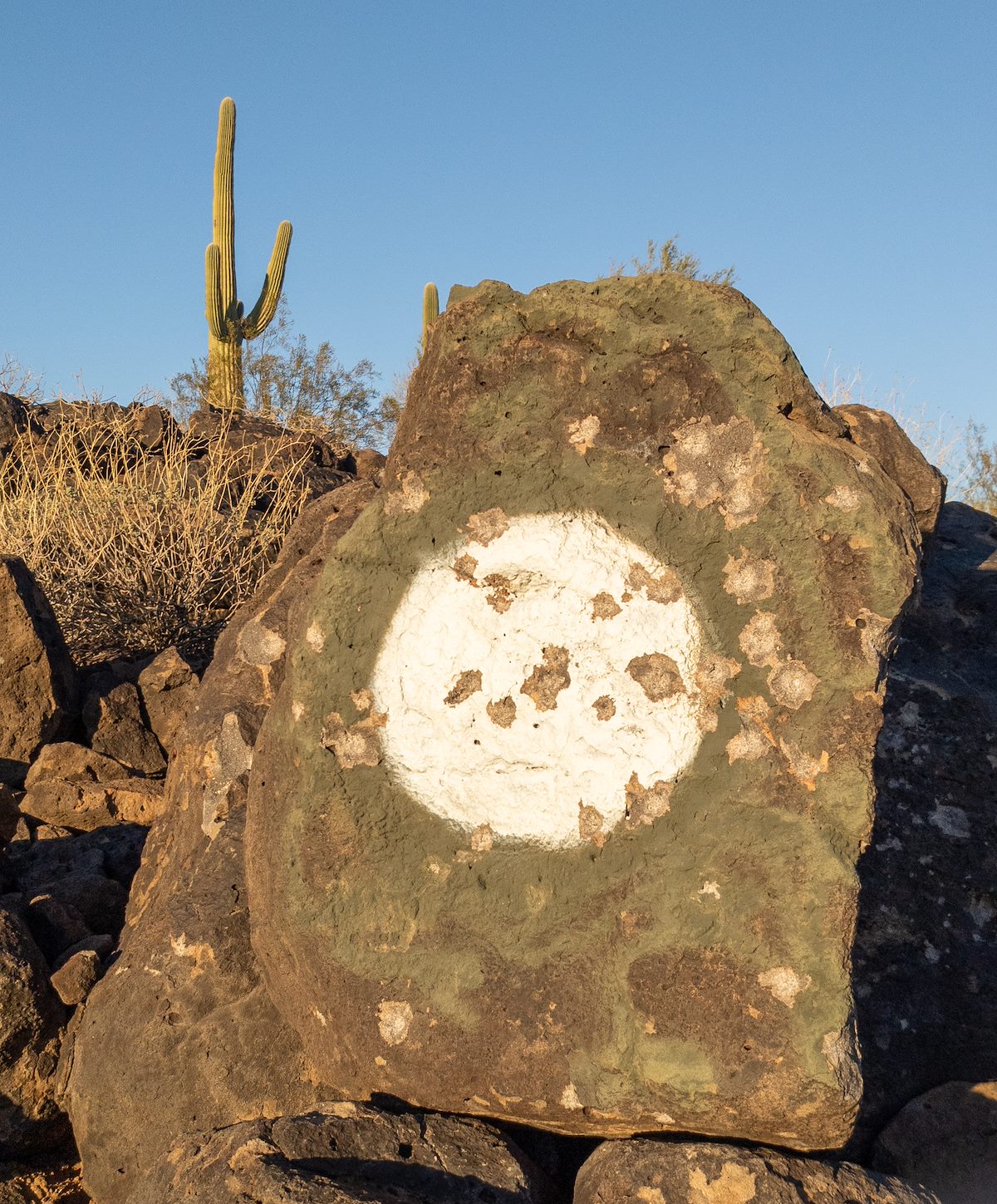
Old roads drawn on aging maps could mean anything, around Pan Quemado and the southern Samaniego Hills they mean beautiful loops across the desert and thru the hills.
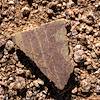
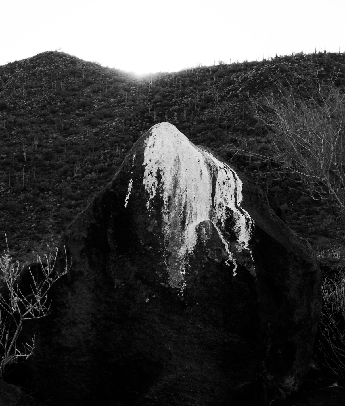
Many of these roads are accessible in a high clearance vehicle - but are better on foot. Hike, run - walk gently thru the desert, balance carefully across the rocky hills - look for unique Saguaros and faint hints of the past - and do it again and again and again!
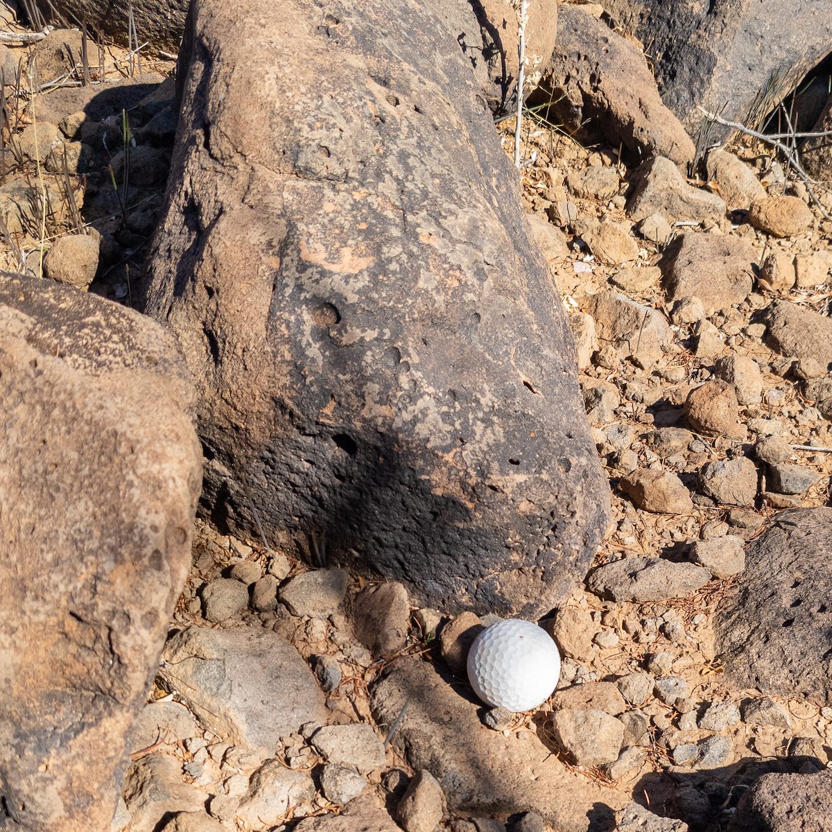

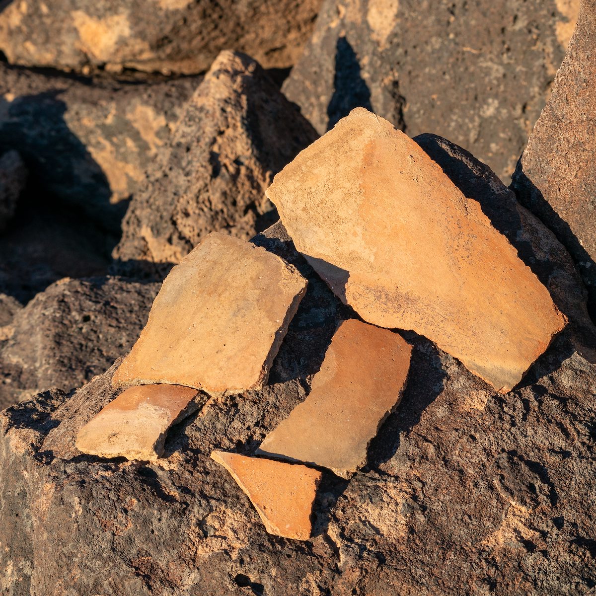
I haven't found much online about this area but The Samaniego Hills on the Desert Mountaineer is well worth reading for the excellent photos and historic details.
Map of Select Southern Samaniego Hills and Pan Quemado Loops